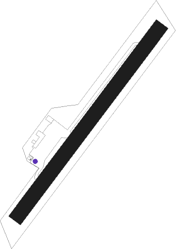
Calais-dunkerque - Argentan
Airport details
| Country | France |
| State | Normandy |
| Region | LF |
| Airspace | Paris Ctr |
| Municipality | Argentan |
| Elevation | 581ft (177m) |
| Timezone | GMT +1 |
| Coordinates | 48.70945, 0.00278 |
| Magnetic var | |
| Type | land |
| Available since | X-Plane v10.40 |
| ICAO code | LFAJ |
| IATA code | n/a |
| FAA code | n/a |
Communication
| Argentan ARGENTAN INFO | 123.500 |
Nearby Points of Interest:
Église Saint-Latuin de Cléray
-Manoir de la Queurie
-camp du Bas de la Courbe
-logis de Sainte-Marie-la-Robert
-chapelle canoniale de Sées
-Logis capitulaire de Sées
-Halle aux grains de Sées
-markers in Écouves Forest
-forge du Champ-de-la-Pierre
-Château de Beaumais
-loges de la foire de Guibray
-auberge de La Romaine
-Maison La Taverne
-manoir du Mesnil
-Hôtel-Dieu de Falaise
-marché couvert de Falaise
-castel saint-leonard
-Palais de justice de Falaise
-Affiloir de Gargantua
-manoir de Ravigny
-hôpital psychiatrique d'Alençon
-8-12 rue des Marcheries
-pharmacie Pesche
-café la Renaissance
-Maison d'Ozé
Nearby beacons
| code | identifier | dist | bearing | frequency |
|---|---|---|---|---|
| LGL | L'AIGLE VOR/DME | 21.4 | 81° | 112.70 |
| CNE | CAEN NDB | 27.5 | 321° | 404 |
| CAN | CAEN CARPIQUET VOR/DME | 33.1 | 315° | 114.45 |
| DVL | DEAUVILLE NORMANDIE VOR | 38.1 | 27° | 110.20 |
| CHW | CHARTRES VOR/DME | 41.4 | 103° | 115.20 |
| LM | LE MANS NDB | 49.4 | 168° | 326 |
| LA | LAVAL NDB | 51.7 | 223° | 401 |
| LHO | LE HAVRE NDB | 53.7 | 11° | 346 |
Disclaimer
The information on this website is not for real aviation. Use this data with the X-Plane flight simulator only! Data taken with kind consent from X-Plane 12 source code and data files. Content is subject to change without notice.
