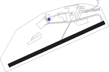
Dinan - Dinan Trelivan
Airport details
| Country | France |
| State | Brittany |
| Region | LF |
| Airspace | Brest Ctr |
| Municipality | Trélivan |
| Elevation | 393ft (120m) |
| Timezone | GMT +1 |
| Coordinates | 48.44333, -2.10333 |
| Magnetic var | |
| Type | land |
| Available since | X-Plane v10.40 |
| ICAO code | LFEB |
| IATA code | n/a |
| FAA code | n/a |
Communication
| Dinan Trelivan DINAN INFO | 123.500 |
| Dinan Trelivan RENNES Approach | 126.950 |
Nearby Points of Interest:
Croix du cimetière de Saint-Juvat
-Cale sèche de la Landriais
-Château de Gouillon
-Maison Charles de Foucauld
-Manoir de Trimer
-pont sur le Frémur
-Malouinière du Bosc
-immeuble
-Malouinière de Launay-Ravilly
-Malouinière de la Plussinais
-Rance Tidal Power Station
-Ancien prieuré de Dinard
-Calvaire de Saint-Lunaire
-Ar Zenith
-Solidor Tower
-Villa Les Roches Brunes
-Pont roulant de Saint-Malo à Saint-Servan
-Maison, 3 rue d'Orléans, Saint-Malo
-Couvent des Récollets
-Hôtel Magon de la Lande
-St-Pierre (Plénée-Jugon)
-Hôtel de la Bertaudière
-Notre-Dame de la Grand'Porte
-Hôtel Hay
-Hôtel de la Gicquelais
Nearby beacons
| code | identifier | dist | bearing | frequency |
|---|---|---|---|---|
| DIN | DINARD PLEURTUIT SAINT MA VOR/DME | 8.6 | 8° | 114.30 |
| REN | RENNES SAINT JACQUES VOR/DME | 26.7 | 136° | 109.25 |
| SB | SAINT BRIEUC NDB | 28 | 280° | 353 |
| PNT | PONTIVY NDB | 36.3 | 240° | 377 |
| JW | JERSEY NDB | 46 | 351° | 329 |
| VA | VANNES NDB | 46.2 | 220° | 342 |
| JSY | JERSEY VOR/DME | 46.7 | 4° | 112.20 |
| GUR | GUERNSEY VOR/DME | 62.8 | 333° | 109.40 |
Disclaimer
The information on this website is not for real aviation. Use this data with the X-Plane flight simulator only! Data taken with kind consent from X-Plane 12 source code and data files. Content is subject to change without notice.
