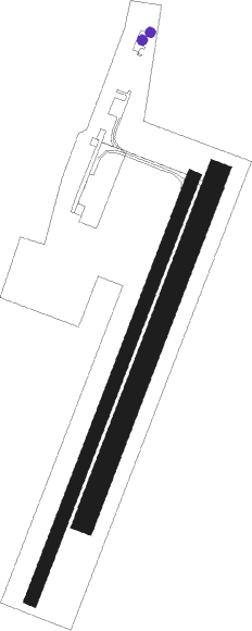
Beaune - Beaune Challanges
Airport details
| Country | France |
| State | Bourgogne-Franche-Comté |
| Region | LF |
| Airspace | Reims Ctr |
| Municipality | Vignoles |
| Elevation | 653ft (199m) |
| Timezone | GMT +1 |
| Coordinates | 47.01319, 4.89501 |
| Magnetic var | |
| Type | land |
| Available since | X-Plane v10.40 |
| ICAO code | LFGF |
| IATA code | n/a |
| FAA code | n/a |
Communication
| Beaune Challanges CTAF | 123.500 |
| Beaune Challanges Dep | 123.500 |
Nearby Points of Interest:
Hospice de la Charité de Beaune
-Hospices de Beaune
-Hôtel des ducs de Bourgogne
-Climats, terroirs of Burgundy
-Léproserie de Meursault
-Triptych of the Virgin (Auxey-Duresses)
-Église Notre-Dame-de-l'Assomption (Puligny-Montrachet)
-Église de Saint-Romain, Côte-d'Or
-Hospices de Nuits-Saint-Georges
-Beffroi de Nuits-Saint-Georges
-Château de Gergy
-Château de Gilly-lès-Cîteaux
-Hospices de Seurre
-Chapelle Saint-Michel du Meix-Saint-Michel
-Chalet d'Agneux
-Halles de Nolay (Côte-d'Or)
-Pont sur le Doubs (Navilly)
-Pont de la Thalie
-Atelier de stuc Benoît
-Palais épiscopal de Chalon-sur-Saône
-Hôtel de Sassenay (Chalon-sur-Saône)
-Hôtel de sous-préfecture de Chalon-sur-Saône
-Hôtel de Colmont-Fusselet
-Abbaye Saint-Pierre de Chalon-sur-Saône
-Bureau des coches et des diligences
Nearby beacons
| code | identifier | dist | bearing | frequency |
|---|---|---|---|---|
| DO | DOLE NDB | 16.9 | 95° | 309 |
| DJL | DIJON LONGVIC VOR/DME | 17.5 | 38° | 111.45 |
| CC | CHAMPFORGEUIL NDB | 17.6 | 190° | 391 |
| SN | SAINT YAN NDB | 53.6 | 227° | 430 |
| RLP | ROLAMPONT VOR/DME | 55.5 | 22° | 117.30 |
| RNN | ROANNE NDB | 64.6 | 224° | 358 |
| ROA | ROANNE VOR | 68.2 | 223° | 110.25 |
Disclaimer
The information on this website is not for real aviation. Use this data with the X-Plane flight simulator only! Data taken with kind consent from X-Plane 12 source code and data files. Content is subject to change without notice.

