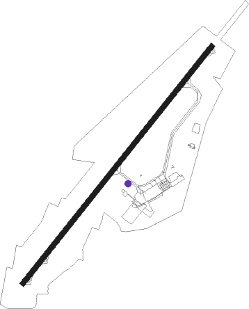
Le Havre - Le Havre Octeville
Airport details
| Country | France |
| State | Normandy |
| Region | LF |
| Airspace | Paris Ctr |
| Municipality | Octeville-sur-Mer |
| Elevation | 312ft (95m) |
| Timezone | GMT +1 |
| Coordinates | 49.53595, 0.09702 |
| Magnetic var | |
| Type | land |
| Available since | X-Plane v10.40 |
| ICAO code | LFOH |
| IATA code | LEH |
| FAA code | n/a |
Communication
| Le Havre Octeville CTAF | 135.200 |
| Le Havre Octeville Twr | 135.200 |
| Le Havre Octeville DEAUVILLE Approach | 120.350 |
| Le Havre Octeville Dep | 135.200 |
Nearby Points of Interest:
Abri R634
-Manoir de Vitanval
-Cap de la Hève
-Château des Gadelles
-Batterie d'Ecqueville
-Arsenal du Havre
-Hôtel de Brocques
-reconstructed center of Le Havre
-hôtel Dubocage de Bléville
-hôtel Homberg
-Hôtel des Ingénieurs des Tréfileries
-fortifications de Montivilliers
-Manoir d'Épaville
-Aître de Brisgaret
-Château d'Harfleur
-Musée du Prieuré
-encuvement sur abri pour canon
-Château du Bec-Crespin
-hospice d'Honfleur
-Propriété de Paul-Élie Gernez
-Maisons Satie
-well, Rue du Puits, Rue Bucaille
-prison d'Honfleur
-manoir Vigneron
-Grenier à sel d'Honfleur
Nearby beacons
| code | identifier | dist | bearing | frequency |
|---|---|---|---|---|
| LHO | LE HAVRE NDB | 4.9 | 54° | 346 |
| DVL | DEAUVILLE NORMANDIE VOR | 15.9 | 136° | 110.20 |
| CNE | CAEN NDB | 30 | 225° | 404 |
| CAN | CAEN CARPIQUET VOR/DME | 30.6 | 237° | 114.45 |
| DSA | DIEPPE NDB | 43.5 | 71° | 351 |
| LGL | L'AIGLE VOR/DME | 47.8 | 150° | 112.70 |
Instrument approach procedures
| runway | airway (heading) | route (dist, bearing) |
|---|---|---|
| RW04 | ABAMU (69°) | ABAMU 3000ft IOH04 (5mi, 98°) 3000ft |
| RW04 | GANPU (56°) | GANPU 3000ft IOH04 (5mi, 55°) 3000ft |
| RW04 | LULIP (37°) | LULIP 3000ft IOH04 (5mi, 322°) 3000ft |
| RNAV | IOH04 3000ft FOH04 (5mi, 55°) 3000ft LFOH (8mi, 56°) 359ft OH410 (1mi, 47°) DEMOM (10mi, 269°) ABAMU (10mi, 220°) 3000ft ABAMU (turn) 3000ft | |
| RW22 | IXIVO (216°) | IXIVO USAPI (5mi, 142°) 3000ft FOH22 (5mi, 235°) 3000ft |
| RW22 | OLONU (249°) | OLONU USAPI (5mi, 286°) 3000ft FOH22 (5mi, 235°) 3000ft |
| RW22 | USAPI (235°) | USAPI 3000ft FOH22 (5mi, 235°) 3000ft |
| RNAV | FOH22 3000ft LFOH (9mi, 234°) 350ft OH710 (3mi, 238°) USAPI (16mi, 55°) 3000ft |
Disclaimer
The information on this website is not for real aviation. Use this data with the X-Plane flight simulator only! Data taken with kind consent from X-Plane 12 source code and data files. Content is subject to change without notice.
