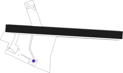
Bernay - Bernay Saint Martin
Airport details
| Country | France |
| State | Normandy |
| Region | LF |
| Airspace | Paris Ctr |
| Municipality | Bernay |
| Elevation | 555ft (169m) |
| Timezone | GMT +1 |
| Coordinates | 49.10250, 0.56556 |
| Magnetic var | |
| Type | land |
| Available since | X-Plane v10.40 |
| ICAO code | LFPD |
| IATA code | XBX |
| FAA code | n/a |
Communication
| Bernay Saint Martin CTAF | 119.225 |
| Bernay Saint Martin DEAUVILLE INFO | 121.425 |
| Bernay Saint Martin Dep | 119.225 |
Nearby Points of Interest:
Croix de cimetière de Notre-Dame-d'Épine
-Chapelle Saint-Éloi de Fontaine-la-Soret
-Hospice d'Orbec
-Manoir Venelle-Dossin
-Couvent des Augustines d'Orbec
-Château de Saint-Gervais d'Asnières
-Prieuré de Saint-Cyr
-Chambre de Charité de Courtonne-la-Meurdrac
-Manoir de Bray
-manoir de Saint-Germain-d'Aunay
-Forêt de Montfort
-Hôtel du Haut-Doyenné de Lisieux
-Fontaine de la Ferronnays
-Saint-Désir amphitheatre
-Auberge du Coq-Hardi
-Manoir de Pommereuil
-Immeuble de la cour Canel
-Maison, 20 rue Sadi Carnot, Pont-Audemer
-Château du Breuil-en-Auge
-Croix de Saint-Pierre-du-Bosguérard
-Abbaye Saint-Pierre-et-Saint-Paul de Châtillon-lès-Conches
-Église Saint-Pierre de Bourneville
-Croix du Thuit-Signol
-Prieuré de Saint-Hymer
-Hôtel Montpensier
Nearby beacons
| code | identifier | dist | bearing | frequency |
|---|---|---|---|---|
| DVL | DEAUVILLE NORMANDIE VOR | 15.9 | 309° | 110.20 |
| LGL | L'AIGLE VOR/DME | 18.7 | 186° | 112.70 |
| EVX | EVREUX FAUVILLE VORTAC | 26.1 | 96° | 112.40 |
| LHO | LE HAVRE NDB | 33.3 | 322° | 346 |
| CNE | CAEN NDB | 34.8 | 271° | 404 |
| ROU | ROUEN VALLEE DE SEINE VOR | 35.5 | 63° | 116.80 |
| CAN | CAEN CARPIQUET VOR/DME | 40.3 | 274° | 114.45 |
| CHW | CHARTRES VOR/DME | 40.9 | 146° | 115.20 |
| DSA | DIEPPE NDB | 50.9 | 34° | 351 |
| DPE | DIEPPE VOR | 54.7 | 36° | 115.80 |
Disclaimer
The information on this website is not for real aviation. Use this data with the X-Plane flight simulator only! Data taken with kind consent from X-Plane 12 source code and data files. Content is subject to change without notice.