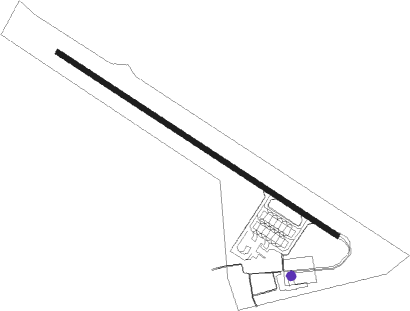
Alexandria
Airport details
| Country | Greece |
| State | Macedonia and Thrace |
| Region | LG |
| Airspace | Athens Ctr |
| Municipality | Δήμος Αλεξάνδρειας |
| Elevation | 25ft (8m) |
| Timezone | GMT +2 |
| Coordinates | 40.64456, 22.49705 |
| Magnetic var | |
| Type | land |
| Available since | X-Plane v10.30 |
| ICAO code | LGAX |
| IATA code | n/a |
| FAA code | n/a |
Communication
| Alexandria Tower | 132.775 |
Nearby beacons
| code | identifier | dist | bearing | frequency |
|---|---|---|---|---|
| AXE | ALEXANDRIA VOR | 0 | 76° | 110.60 |
| GDA | ALEXANDRIA NDB | 0.1 | 67° | 394 |
| THS | THESSALONIKI NDB | 20.7 | 96° | 345 |
| MKR | MIKRA (THESSALONIKI) VOR/DME | 22.8 | 105° | 110.80 |
| TSL | THESSALONIKI VOR/DME | 25.2 | 111° | 112.10 |
| FIS | FISKA (THESSALONIKI) NDB | 35.3 | 47° | 314 |
| FSK | FISKA VOR/DME | 35.3 | 47° | 116.40 |
| KZN | KOZANI NDB | 36.7 | 242° | 291 |
| KOZ | KOZANI VOR/DME | 36.9 | 241° | 109.60 |
| LAR | LARISSA TACAN | 59.3 | 179° | 109 |
| LSA | LARISSA NDB | 60 | 182° | 362 |
Disclaimer
The information on this website is not for real aviation. Use this data with the X-Plane flight simulator only! Data taken with kind consent from X-Plane 12 source code and data files. Content is subject to change without notice.
