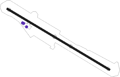
Kastoria - Aristotelis
Airport details
| Country | Greece |
| State | Epirus and Western Macedonia |
| Region | LG |
| Airspace | Athens Ctr |
| Municipality | Argos Orestiko Municipality |
| Elevation | 2166ft (660m) |
| Timezone | GMT +2 |
| Coordinates | 40.44639, 21.28111 |
| Magnetic var | |
| Type | land |
| Available since | X-Plane v10.32 |
| ICAO code | LGKA |
| IATA code | KSO |
| FAA code | n/a |
Communication
| Aristotelis KASTORIA INFO | 118.400 |
Nearby Points of Interest:
Dispilio Neolithic Settlement
-Doltso
-Saint George Church in Korisos, 19th Century
-Poulkos Mansion
-Bouflis Mansion
-Agios Ahillios Basilica
-Holy Resurrection Church, Mborje
-Vila Polena
-Nativity of Mary Church, Kato Kleines
-Godina e vjetër e Liceut të Korçës
-Banesa e Lipi e Vaske Kotes
-House of Xhafer Ypi
-Vangjush Mio House
-House of Andromaqi Melko
-Banesa e Vëllazërisë Frashëri
-Hani Manastiri
-Kamenica Tumulus
-Portitsa bridge
-St. Petka Church
-Saint Nicholas Church, Perivoli
-Dormition of the Theotokos Church
-Kisha e Manastirit të Shën Marisë
Nearby beacons
| code | identifier | dist | bearing | frequency |
|---|---|---|---|---|
| KSO | KASTORIA NDB | 0.1 | 228° | 372 |
| KAS | KASTORIA VOR/DME | 0.3 | 309° | 114.50 |
| KOZ | KOZANI VOR/DME | 27.3 | 106° | 109.60 |
| KZN | KOZANI NDB | 27.3 | 106° | 291 |
| YNN | IOANNINA VOR/DME | 49.5 | 212° | 108.60 |
| IOA | IOANNINA NDB | 49.9 | 211° | 340 |
| OHR | OHRID VOR/DME | 50.1 | 323° | 112.50 |
| PEP | PRILEP NDB | 54 | 11° | 297 |
| IZD | IZDEGLAVJE NDB | 57.7 | 333° | 432 |
Departure and arrival routes
| Transition altitude | 9000ft |
| SID end points | distance | outbound heading | |
|---|---|---|---|
| RW12 | |||
| TSL1G | 78mi | 90° | |
| GOVO1G | 27mi | 106° | |
| YNN1G | 50mi | 212° | |
| RW30 | |||
| TSL1L | 78mi | 90° | |
| GOVO1L | 27mi | 106° | |
| YNN1L | 50mi | 212° | |
Disclaimer
The information on this website is not for real aviation. Use this data with the X-Plane flight simulator only! Data taken with kind consent from X-Plane 12 source code and data files. Content is subject to change without notice.
