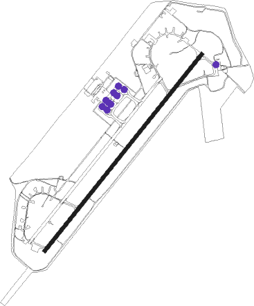
Limnos Island - Limnos
Airport details
| Country | Greece |
| State | Aegean |
| Region | LG |
| Airspace | Athens Ctr |
| Municipality | Lemnos Municipality |
| Elevation | 14ft (4m) |
| Timezone | GMT +2 |
| Coordinates | 39.91722, 25.23639 |
| Magnetic var | |
| Type | land |
| Available since | X-Plane v10.40 |
| ICAO code | LGLM |
| IATA code | LXS |
| FAA code | n/a |
Communication
| Limnos Tower | 128.500 |
| Limnos Approach | 128.500 |
Nearby beacons
| code | identifier | dist | bearing | frequency |
|---|---|---|---|---|
| LMO | LIMNOS VOR/DME | 0.1 | 19° | 109.20 |
| LIO | LIMNOS NDB | 0.3 | 323° | 429 |
| GKA | GOKCEADA NDB | 35.3 | 69° | 384 |
| ALP | ALEXANDROUPOLIS NDB | 64.9 | 37° | 351 |
| ALX | ALEXANDROUPOLIS VOR/DME | 65.1 | 38° | 113.80 |
| KPL | KAVALA VOR/DME | 66.1 | 328° | 108.80 |
| SKS | SKIROS VOR/DME | 66.2 | 218° | 116.60 |
| SKY | SKYROS TACAN | 66.2 | 218° | 116.10 |
Departure and arrival routes
| Transition altitude | 4000ft |
| SID end points | distance | outbound heading | |
|---|---|---|---|
| RW04R | |||
| ALX2A | 65mi | 38° | |
| NILV2A | 41mi | 143° | |
| MES2A | 105mi | 158° | |
| KORO2A | 51mi | 201° | |
| PERE2A | 71mi | 298° | |
| KPL2A | 66mi | 328° | |
| RW22L | |||
| ALX2B | 65mi | 38° | |
| NILV2B | 41mi | 143° | |
| MES2B | 105mi | 158° | |
| KORO2B | 51mi | 201° | |
| PERE2B | 71mi | 298° | |
| KPL2B | 66mi | 328° | |
| STAR starting points | distance | inbound heading | |
|---|---|---|---|
| ALL | |||
| KORO1D | 51.2 | 21° | |
| PERE1D | 71.0 | 118° | |
| KPL1D | 66.1 | 148° | |
| ALX1D | 65.1 | 218° | |
| NILV1D | 41.1 | 323° | |
| MES1D | 104.7 | 338° | |
| RW04R | |||
| KORO1C | 51.2 | 21° | |
| RW22L | |||
| KPL1C | 66.1 | 148° | |
Disclaimer
The information on this website is not for real aviation. Use this data with the X-Plane flight simulator only! Data taken with kind consent from X-Plane 12 source code and data files. Content is subject to change without notice.
