Kalocsa
Airport details
| Country | Hungary |
| State | Bács-Kiskun |
| Region | LH |
| Airspace | Budapest Ctr |
| Municipality | Foktő |
| Elevation | 0ft (0m) |
| Timezone | GMT +1 |
| Coordinates | 46.55220, 18.94210 |
| Magnetic var | |
| Type | land |
| Available since | X-Plane v10.40 |
| ICAO code | LHKA |
| IATA code | n/a |
| FAA code | n/a |
Communication
| Kalocsa Kalocsa START | 134.800 |
Nearby Points of Interest:
Pacsmag Fishponds Nature Conservation Area
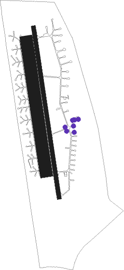
Runway info
Runway 17L / 35R  | ||
| length | 712m (2336ft) | |
| bearing | 174° / 354° | |
| width | 25m (82ft) | |
| surface | asphalt | |
| Runway 17 / 35 | ||
| length | 2501m (8205ft) | |
| bearing | 174° / 354° | |
| width | 60m (197ft) | |
| surface | concrete | |
| blast zone | 22m (72ft) / 24m (79ft) | |
| Runway 17R / 35L | ||
| length | 1902m (6240ft) | |
| bearing | 174° / 354° | |
| width | 180m (591ft) | |
| surface | grass | |
Nearby beacons
| code | identifier | dist | bearing | frequency |
|---|---|---|---|---|
| BUG | BUGAC VOR/DME | 31.4 | 80° | 113.40 |
| PTB | PUSZTASZABOLCS VOR/DME | 36.9 | 342° | 117.10 |
| SVR | SAGVAR VOR/DME | 37.7 | 289° | 117.70 |
| NT | KECSKEMET NDB | 38.6 | 62° | 313 |
| KET | KECSKEMET VORTAC | 39.3 | 64° | 114.15 |
| N | KECSKEMET NDB | 39.3 | 64° | 440 |
| T | KECSKEMET NDB | 40.3 | 67° | 440 |
| TN | KECSKEMET NDB | 41 | 69° | 313 |
| PP | POGANY (PECS) NDB | 44 | 232° | 412 |
| MNR | MONOR VOR/DME | 50.6 | 31° | 112.50 |
| BUD | BUDAPEST VOR/DME | 55.3 | 19° | 117.30 |
| TPS | TAPIOSAP VOR/DME | 60.1 | 28° | 115.90 |
Disclaimer
The information on this website is not for real aviation. Use this data with the X-Plane flight simulator only! Data taken with kind consent from X-Plane 12 source code and data files. Content is subject to change without notice.