Siófok-kiliti
Airport details
| Country | Hungary |
| State | Somogy |
| Region | LH |
| Airspace | Budapest Ctr |
| Municipality | Ságvár |
| Elevation | 416ft (127m) |
| Timezone | GMT +1 |
| Coordinates | 46.85394, 18.09691 |
| Magnetic var | |
| Type | land |
| Available since | X-Plane v10.40 |
| ICAO code | LHSK |
| IATA code | n/a |
| FAA code | n/a |
Communication
| Siófok-Kiliti KILITI | 125.800 |
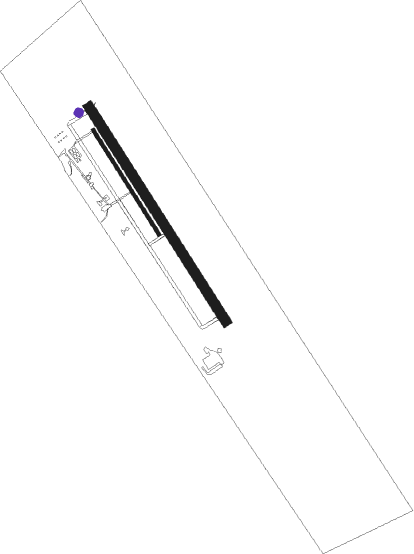
Runway info
Runway 15R / 33L  | ||
| length | 607m (1991ft) | |
| bearing | 142° / 322° | |
| width | 18m (59ft) | |
| surface | asphalt | |
| Runway 15L / 33R | ||
| length | 1247m (4091ft) | |
| bearing | 142° / 322° | |
| width | 49m (161ft) | |
| surface | grass | |
Nearby beacons
| code | identifier | dist | bearing | frequency |
|---|---|---|---|---|
| SVR | SAGVAR VOR/DME | 1.7 | 141° | 117.70 |
| PTB | PUSZTASZABOLCS VOR/DME | 31.9 | 65° | 117.10 |
| PC | PAPA NDB | 36.4 | 309° | 318 |
| P | PAPA NDB | 37.9 | 310° | 493 |
| SME | SARMELLEK NDB | 39.8 | 259° | 436 |
| SME | DME | 39.9 | 259° | 113.20 |
| C | PAPA NDB | 40.2 | 311° | 493 |
| PCT | PAPA VORTAC | 40.2 | 311° | 114.75 |
| CP | PAPA NDB | 41.7 | 312° | 318 |
| GYR | GYOR VOR/DME | 50.6 | 335° | 115.10 |
| PP | POGANY (PECS) NDB | 51.2 | 171° | 412 |
Disclaimer
The information on this website is not for real aviation. Use this data with the X-Plane flight simulator only! Data taken with kind consent from X-Plane 12 source code and data files. Content is subject to change without notice.