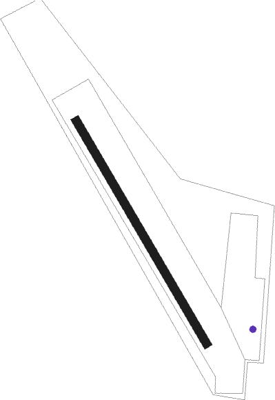
Policka
Airport details
| Country | Czechia |
| State | Northeast |
| Region | LK |
| Airspace | Prague Ctr |
| Municipality | Polička |
| Elevation | 1978ft (603m) |
| Timezone | GMT +1 |
| Coordinates | 49.73944, 16.25889 |
| Magnetic var | |
| Type | land |
| Available since | X-Plane v10.40 |
| ICAO code | LKPA |
| IATA code | n/a |
| FAA code | n/a |
Communication
| Policka INFO | 122.600 |
Nearby Points of Interest:
Polygonal Barn in Široký Důl
-Maria column in Polička
-Town hall in Polička
-Church of Saint James the Greater in Polička
-Church of Saint Michael
-City walls of Polička
-Měšťanský pivovar v Poličce
-Church of Saint Nicholas
-Church of Saint George (Pomezí)
-Church of Saints Peter and Paul (Korouhev)
-Church of the Finding of the True Cross (Trstěnice)
-Venkovská usedlost čp. 16
-Homestead No 171 in Čistá
-Lime kiln in Trhonice
-Town hall in Jimramov
-Daňkovice čp. 47
-Church of Saint Anne
-Langer's Villa
-Chapel of Saint John of Nepomuk
-Maria column in Litomyšl
-Nová radnice
-Nové Hrady Castle
-Dům U Rytířů
-Town hall in Litomyšl
Nearby beacons
| code | identifier | dist | bearing | frequency |
|---|---|---|---|---|
| PK | PARDUBICE NDB | 23.7 | 301° | 432 |
| P | PARDUBICE NDB | 25 | 299° | 888 |
| CF | CASLAV NDB | 33.4 | 281° | 345 |
| XU | NAMEST NDB | 33.4 | 200° | 563 |
| X | NAMEST NDB | 34.1 | 196° | 362 |
| C | CASLAV NDB | 34.9 | 282° | 715 |
| L | NAMEST NDB | 35.6 | 190° | 362 |
| LA | NAMEST NDB | 36.3 | 187° | 514 |
| F | CASLAV NDB | 37.3 | 284° | 715 |
| BNO | BRNO VOR/DME | 39.2 | 144° | 114.45 |
| B | BOREK (BRNO) NDB | 39.9 | 142° | 429 |
| OKF | DESNA VOR/DME | 54 | 223° | 113.15 |
Disclaimer
The information on this website is not for real aviation. Use this data with the X-Plane flight simulator only! Data taken with kind consent from X-Plane 12 source code and data files. Content is subject to change without notice.