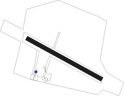
Prostejov
Airport details
| Country | Czechia |
| State | Central Moravia |
| Region | LK |
| Airspace | Prague Ctr |
| Municipality | Prostějov |
| Elevation | 702ft (214m) |
| Timezone | GMT +1 |
| Coordinates | 49.44778, 17.13389 |
| Magnetic var | |
| Type | land |
| Available since | X-Plane v10.40 |
| ICAO code | LKPJ |
| IATA code | n/a |
| FAA code | n/a |
Communication
| Prostejov LKPJ Radio | 126.900 |
Nearby Points of Interest:
Dům řádových sester
-Villa of František Kovářík
-Synagogue Beth´ha - Midrasch
-Villa of Josef Kovářík
-Nová radnice
-Bratrská škola
-Součkův dům
-Socha svatého Libora
-Church of Saint John the Baptist
-Chapel of the Holy Guardian Angel
-Church of Saint George (Pivín)
-Plumlov Castle
-Battlefield in Tovačov
-Church of the Purification of Mary
-Town hall of Tovačov
-Hrad u Bílovic
-Saint Andrew Church, Olomouc
-Ferdinandsko
-Rotunda of Saint Pantaleon
-Jewish cemetery in Ivanovice na Hané
-Church of Saints Peter and Paul
-Former synagogue in Kojetín
-Church of Saint Andrew
-Vila rodiny Stratilových
-Vila Františky Lipčíkové
Nearby beacons
| code | identifier | dist | bearing | frequency |
|---|---|---|---|---|
| B | BOREK (BRNO) NDB | 24 | 234° | 429 |
| KUN | KUNOVICE NDB | 24.6 | 132° | 416 |
| BNO | BRNO VOR/DME | 24.8 | 236° | 114.45 |
| KNE | KUNOVICE NDB | 27.1 | 142° | 434 |
| R | RADA (OSTRAVA) NDB | 39.5 | 76° | 534 |
| OTA | OSTRAVA VOR/DME | 40.8 | 76° | 117.45 |
| LA | NAMEST NDB | 41.7 | 252° | 514 |
| L | NAMEST NDB | 42.3 | 253° | 362 |
| PNY | CENTR (PIESTANY) NDB | 57.2 | 141° | 297 |
Disclaimer
The information on this website is not for real aviation. Use this data with the X-Plane flight simulator only! Data taken with kind consent from X-Plane 12 source code and data files. Content is subject to change without notice.
