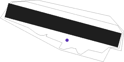
Vrchlabi
Airport details
| Country | Czechia |
| State | Northeast |
| Region | LK |
| Airspace | Prague Ctr |
| Municipality | Lánov |
| Elevation | 1607ft (490m) |
| Timezone | GMT +1 |
| Coordinates | 50.62417, 15.64639 |
| Magnetic var | |
| Type | land |
| Available since | X-Plane v10.40 |
| ICAO code | LKVR |
| IATA code | n/a |
| FAA code | n/a |
Communication
| Vrchlabi INFO | 125.325 |
Nearby Points of Interest:
Zámecká kaple Morzinů
-Church of Saint Augustinus in Vrchlabí
-Stations of the cross in Černý Důl
-Church of Saint George
-Plátenický dům
-Evangelical church (Strážné)
-Rudník chateau/brewery
-Křížová cesta
-Church of the Holy Trinity
-Church of Saint Wenceslaus
-Mikoláškův mlýn
-Zvonice
-Harrach Brewery in Jilemnice
-Olivet Chapel
-Vejnar's hydroelectric power plant
-Church of Saint John the Baptist
-Church of Holy Trinity (Hostinné)
-Town hall
-Maria column in Hostinné
-obloukový most přes řeku Čistou v Hostinném
-Františkánský klášter Hostinné
-bell tower in Víchová nad Jizerou
-Dixova brusírna dřeva
-Church of Saint John of Nepomuk
-Church of Saint James (Dolní Olešnice)
Nearby beacons
| code | identifier | dist | bearing | frequency |
|---|---|---|---|---|
| OKX | FRYDLANT VOR/DME | 28.7 | 294° | 114.85 |
| P | PARDUBICE NDB | 37 | 169° | 888 |
| PK | PARDUBICE NDB | 37.3 | 165° | 432 |
| F | CASLAV NDB | 41.5 | 204° | 715 |
| C | CASLAV NDB | 43 | 199° | 715 |
| CF | CASLAV NDB | 44 | 197° | 345 |
| VLM | VLASIM VOR/DME | 59.5 | 212° | 114.30 |
Disclaimer
The information on this website is not for real aviation. Use this data with the X-Plane flight simulator only! Data taken with kind consent from X-Plane 12 source code and data files. Content is subject to change without notice.
