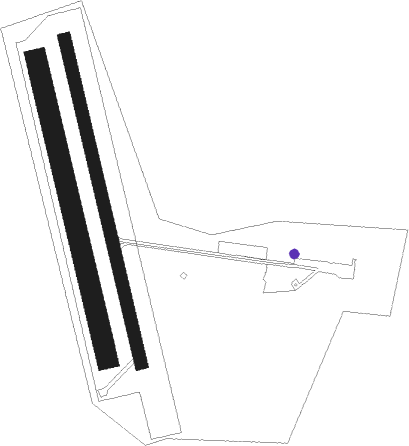
Zlín - Zlin
Airport details
| Country | Czechia |
| State | Central Moravia |
| Region | LK |
| Airspace | Prague Ctr |
| Municipality | Otrokovice |
| Elevation | 603ft (184m) |
| Timezone | GMT +1 |
| Coordinates | 49.19833, 17.51778 |
| Magnetic var | |
| Type | land |
| Available since | X-Plane v10.40 |
| ICAO code | LKZL |
| IATA code | n/a |
| FAA code | n/a |
Communication
| Zlin INFO | 118.750 |
Nearby Points of Interest:
Společenský dům s parkem
-Town hall in Napajedla
-Church of Holy Trinity
-Church of Saint Anthony of Padua in Míškovice
-Church of Saint Bartholomew
-Church of Saints Peter and Paul
-Zvonice v Těšnovicích
-Baťa's Skyscraper
-Zlínská radnice
-Kolektivní dům in Zlín
-Church of Saints Philip and James
-Zlín Castle
-Morýsovy domy
-Church in Modrá
-Cistercian monastery Velehrad
-Stations of the Cross in Kroměříž cemetery
-Church of Saints Cyril and Methodius
-Separační zeď
-Kamenný kříž u Stonáče
-Jewish town hall in Kroměřiž
-Měšťanský pivovar
-Velké náměstí 1
-Měšťanský dům u radnice v Kroměříži
-Sloup se sochou svatého Jana Nepomuckého
-Fountain at Velké náměstí (Kroměříž)
Nearby beacons
| code | identifier | dist | bearing | frequency |
|---|---|---|---|---|
| KUN | KUNOVICE NDB | 5.1 | 191° | 416 |
| KNE | KUNOVICE NDB | 9.4 | 203° | 434 |
| B | BOREK (BRNO) NDB | 31.2 | 266° | 429 |
| BNO | BRNO VOR/DME | 32.5 | 267° | 114.45 |
| R | RADA (OSTRAVA) NDB | 36.3 | 50° | 534 |
| PNY | CENTR (PIESTANY) NDB | 37.4 | 153° | 297 |
| OTA | OSTRAVA VOR/DME | 37.8 | 50° | 117.45 |
| ZLA | ZILINA NDB | 38.9 | 90° | 404 |
| N | NADA (OSTRAVA) NDB | 39.2 | 50° | 258 |
| NIT | NITRA VOR/DME | 58.4 | 150° | 116.50 |
| OKR | STEFANIK NORTH NDB | 59.2 | 193° | 391 |
Disclaimer
The information on this website is not for real aviation. Use this data with the X-Plane flight simulator only! Data taken with kind consent from X-Plane 12 source code and data files. Content is subject to change without notice.

