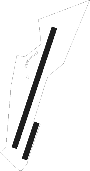
Feldkirchen - Feldkirchen/ossiacher See
Airport details
| Country | Austria |
| State | Carinthia |
| Region | LO |
| Airspace | Vienna Ctr |
| Municipality | Feldkirchen in Kärnten |
| Elevation | 1706ft (520m) |
| Timezone | GMT +1 |
| Coordinates | 46.71065, 14.07706 |
| Magnetic var | |
| Type | land |
| Available since | X-Plane v10.40 |
| ICAO code | LOKF |
| IATA code | n/a |
| FAA code | n/a |
Communication
| Feldkirchen/Ossiacher See Feldkirchen Flugplatz | 122.705 |
Nearby Points of Interest:
Filialkirche hl. Margareta, Tiffen (Steindorf am Ossiacher See)
-Gschlosser, Tiffen
-Kirche in Waiern
-Pfarrkirche hl. Laurentius, Glanhofen, Feldkirchen
-Schloss Greifenthurn
-Filialkirche hl. Philipp und Jakob, Pichlern
-Filialkirche hl. Leonhard, Stocklitz, Feldkirchen
-Schloss Biberstein (Kärnten)
-Filialkirche hl. Thomas, Himmelberg
-Pfarrkirche hl. Radegundis, Radweg
-Pfarrkirche hl. Martin in Himmelberg
-Saint Andreas in Wachsenberg
-Filialkirche hll. Philippus und Jakobus, Briefelsdorf
-St. Andreas und Nikolaus (Knasweg)
-Filialkirche Heiliger Antonius auf dem Tauern
-Filialkirche Kleingradenegg
-Schloss Tigring
-Pfarrkirche hl. Urban, Sankt Urban
-Leonhard-Kapelle (Benesirnitz)
-Burgruine Steuerberg
-Burgruine Glanegg
-Evangelische Pfarrkirche Gnesau
-Villa Miralago
-Schloss Ratzenegg
-Burgruine Alt-Albeck

Nearby beacons
| code | identifier | dist | bearing | frequency |
|---|---|---|---|---|
| VIW | DME | 6.7 | 265° | 112.90 |
| KI | KLAGENFURT NDB | 13.4 | 104° | 313 |
| KFT | KLAGENFURT NDB | 19.5 | 101° | 374 |
| KFT | KLAGENFURT VOR/DME | 21.1 | 103° | 113.10 |
| LBL | LJUBLJANA VOR/DME | 31.8 | 143° | 117.20 |
| KOR | DME | 37 | 85° | 109.40 |
| MG | LJUBLJANA NDB | 37.8 | 138° | 296 |
| ZW | ZELTWEG NDB | 40.3 | 54° | 418 |
| DOL | DOLSKO VOR/DME | 47.5 | 132° | 112.70 |
| RCH | RONCHI DEI LEGIONARI VOR/DME | 58.4 | 214° | 114.20 |
| RIV | RIVOLTO TACAN | 59.3 | 234° | 110 |
| RON | RONCHI DEI LEGIONARI NDB | 60.7 | 219° | 396 |
Disclaimer
The information on this website is not for real aviation. Use this data with the X-Plane flight simulator only! Data taken with kind consent from X-Plane 12 source code and data files. Content is subject to change without notice.