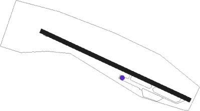
Ried - Ried-kirchheim
Airport details
| Country | Austria |
| State | Upper Austria |
| Region | LO |
| Airspace | Vienna Ctr |
| Municipality | Kirchheim im Innkreis |
| Elevation | 1376ft (419m) |
| Timezone | GMT +1 |
| Coordinates | 48.21250, 13.34500 |
| Magnetic var | |
| Type | land |
| Available since | X-Plane v10.40 |
| ICAO code | LOLK |
| IATA code | n/a |
| FAA code | n/a |
Communication
| Ried-Kirchheim Kirchheim Flugplatz | 122.650 |
Nearby Points of Interest:
Pfarrkirche Heiliger Nikolaus
-Holy Name of Mary Church
-Schloss Hueb
-Pfarrkirche Aspach
-Pfarrkirche Mettmach
-Pfarrkirche Mariä Himmelfahrt, Eitzing
-Pfarrkirche Roßbach
-Holy Cross Church
-Pfarrkirche Höhnhart
-Pfarrkirche Sankt Georgen bei Obernberg am Inn
-Saint Maurice Church
-Filialkirche Kleinmurham
-Pfarrkirche Treubach
-Pfarrkirche Waldzell
-Christ Church (Ried im Innkreis)
-Saints Peter and Paul Church
-Museum Innviertler Volkskundehaus
-Pfarrkirche Mariä Himmelfahrt, Utzenaich
-Pfarrkirche Tumeltsham
-Katholische Pfarrkirche, Schildorn
-Saint Lawrence Church (Pattigham)
-Pflegerkasten
-Ehemaliges Fürstbischöfliches Schloss
-Church of the Assumption (Mühlheim am Inn)
-Mariä Himmelfahrt zu St. Leonhard
Nearby beacons
| code | identifier | dist | bearing | frequency |
|---|---|---|---|---|
| SBG | SALZBURG VOR/DME | 22 | 245° | 113.80 |
| SBG | SALZBURG NDB | 23.3 | 241° | 382 |
| GSB | DME | 26.2 | 210° | 109.45 |
| SI | SALZBURG NDB | 27.6 | 222° | 410 |
| LNZ | LINZ VOR/DME | 30.3 | 89° | 116.60 |
| FRE | DME | 33.9 | 74° | 113.50 |
| LNZ | LINZ NDB | 39.1 | 89° | 327 |
| RDG | RODING VOR/DME | 59.3 | 315° | 114.70 |
Disclaimer
The information on this website is not for real aviation. Use this data with the X-Plane flight simulator only! Data taken with kind consent from X-Plane 12 source code and data files. Content is subject to change without notice.