Aigen Im Ennstal
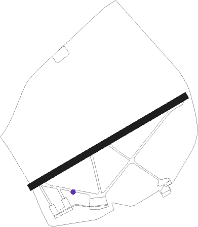
Airport details
| Country | Austria |
| State | Styria |
| Region | LO |
| Airspace | Vienna Ctr |
| Municipality | Aigen im Ennstal |
| Elevation | 2091ft (637m) |
| Timezone | GMT +1 |
| Coordinates | 47.53778, 14.13889 |
| Magnetic var | |
| Type | land |
| Available since | X-Plane v10.30 |
| ICAO code | LOXA |
| IATA code | n/a |
| FAA code | n/a |
Communication
| Aigen im Ennstal Aigen Tower | 118.000 |
Nearby Points of Interest:
Schloss Grubegg
-Rathaus Rottenmann
-Ehemaliges Augustinerchorherrenstift Rottenmann
-Kollegiatstift Spital am Pyhrn
-Schloss Thannegg
-Höhensiedlung Kaiserköpperl
-Admont Abbey
-Pfarrkirche hl. Jakob, Windischgarsten
-Kaiserlicher Stall
-Pfarrkirche hl. Pankraz, St. Pankraz, Upper Austria
-Schloss Kaiserau
-Pfarrkirche hll. Kosmas und Damian, Weng im Gesäuse
-Glaubenskirche (St. Johann am Tauern)
-Pfarrkirche Unbefleckte Empfängnis Mariä, Steyrling
-Pfarrkirche Bretstein
-Pfarrkirche Klaus an der Pyhrnbahn
-Altaussee salt mine
-Lodenwalker
-Pfarrkirche Obertraun
-Evangelisches Bethaus Obertraun
-Hallstatt-Dachstein Salzkammergut cultural landscape
-Sensenschmiede an der Zinne
-Pfarrkirche hl. Josef, Mittermicheldorf
-Steinhuberhammer
-Wallfahrtskirche Maria Altötting, Winklern bei Oberwölz
Nearby beacons
| code | identifier | dist | bearing | frequency |
|---|---|---|---|---|
| ZW | ZELTWEG NDB | 32.3 | 119° | 418 |
| LNZ | LINZ VOR/DME | 41.5 | 357° | 116.60 |
| LNZ | LINZ NDB | 42.6 | 15° | 327 |
| VIW | DME | 51.3 | 195° | 112.90 |
| FRE | DME | 53.6 | 359° | 113.50 |
| KI | KLAGENFURT NDB | 55.2 | 165° | 313 |
| KOR | DME | 56.4 | 132° | 109.40 |
| KFT | KLAGENFURT NDB | 57.1 | 157° | 374 |
| KFT | KLAGENFURT VOR/DME | 59 | 156° | 113.10 |
Disclaimer
The information on this website is not for real aviation. Use this data with the X-Plane flight simulator only! Data taken with kind consent from X-Plane 12 source code and data files. Content is subject to change without notice.