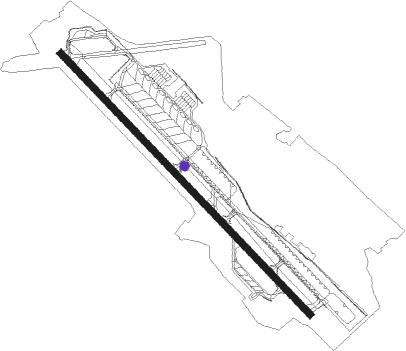
Lajes
Airport details
| Country | Portugal |
| State | Autonomous Region of Azores |
| Region | LP |
| Airspace | Santa Maria Oceanic Ctr |
| Municipality | Lajes |
| Elevation | 180ft (55m) |
| Timezone | GMT -1 |
| Coordinates | 38.76194, -27.09083 |
| Magnetic var | |
| Type | land |
| Available since | X-Plane v10.40 |
| ICAO code | LPLA |
| IATA code | TER |
| FAA code | n/a |
Communication
| Lajes ATIS | 120.300 |
| Lajes CLR | 134.100 |
| Lajes Ground Control | 121.900 |
| Lajes Tower | 122.100 |
| Lajes Approach | 135.000 |
Approach frequencies
| ILS-cat-I | RW15 | 109.9 | 18.00mi |
| ILS-cat-I | RW33 | 111.5 | 18.00mi |
| 3.2° GS | RW33 | 111.5 | 18.00mi |
| 3° GS | RW15 | 109.9 | 18.00mi |
Nearby Points of Interest:
Edifício dos Paços do Concelho da Praia da Vitória, Praia da Vitória
-Igreja Matriz de São Sebastião
-Nature Park of Terceira
-Convent of São Francisco
-Palacete Silveira e Paulo
-Casa de Violante do Canto (Angra do Heroísmo)
-Solar de Nossa Senhora dos Remédios
-Capela de Nossa Senhora dos Remédios (Angra do Heroísmo)
-Câmara Municipal de Angra do Heroísmo
-Palácio dos Capitães-Generais
-Teatro Angrense
-Sé Cathedral of Angra do Heroísmo
-Solar da Madre de Deus
-Palácio Bettencourt
-Paço Episcopal de Angra do Heroísmo
-Ermida de Nossa Senhora da Ajuda (Santa Bárbara)
-Estalagem da Serreta
Nearby beacons
| code | identifier | dist | bearing | frequency |
|---|---|---|---|---|
| TRM | LAJES TACAN | 0.1 | 200° | 116.20 |
| LM | LAJES VOR | 1.4 | 328° | 112.30 |
| GC | GRACIOSA NDB | 48.2 | 289° | 428 |
Departure and arrival routes
| Transition altitude | 5000ft |
| Transition level | 5000ft |
| SID end points | distance | outbound heading | |
|---|---|---|---|
| RW15 | |||
| DOLE1D | 45mi | 55° | |
| REGL1D | 45mi | 84° | |
| MIPR1D | 45mi | 124° | |
| RW33 | |||
| DOLE1B | 45mi | 55° | |
| REGL1B | 45mi | 84° | |
| MIPR1B | 45mi | 124° | |
Disclaimer
The information on this website is not for real aviation. Use this data with the X-Plane flight simulator only! Data taken with kind consent from X-Plane 12 source code and data files. Content is subject to change without notice.