Winterthur
Airport details
| Country | Switzerland |
| State | Zurich |
| Region | |
| Airspace | Switzerland Ctr |
| Municipality | Winterthur |
| Elevation | 1496ft (456m) |
| Timezone | GMT +1 |
| Coordinates | 47.51163, 8.77059 |
| Magnetic var | |
| Type | land |
| Available since | X-Plane v10.40 |
| ICAO code | LSPH |
| IATA code | n/a |
| FAA code | n/a |
Communication
Nearby Points of Interest:
Hohlandhaus
-Swiss Nail Factory
-Villa Rychenberg
-Münzkabinett und Antikensammlung der Stadt Winterthur
-Bad- und Waschanstalt Winterthur
-Haus zum Warteck
-Ehemaliges Waaghaus
-Stadtbibliothek Winterthur
-Altstadt (Winterthur)
-Altes Stadthaus
-Winterthur
-Salzhaus
-Töss Convent
-Schlosshof-Steg (Tössbrücke)
-Wespi-Mühle
-spinning mill Hard
-Befestigte Höhensiedlung Beerenberg
-Tröckneturm
-Frauenfeld post office
-Frauenfeld
-Haus zum Licht, Frauenfeld
-Rüpplinsche Kaplanei
-Redinghaus, Frauenfeld
-Haus zur Gedult, Frauenfeld
-Cantonal Library Thurgau
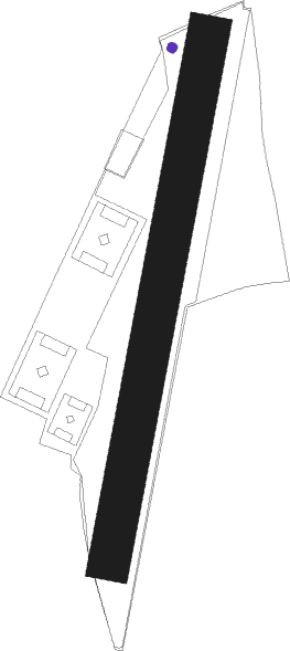
Runway info
| Runway 01 / 19 | ||
| length | 764m (2507ft) | |
| bearing | 22° / 202° | |
| width | 60m (197ft) | |
| surface | grass | |
Nearby beacons
| code | identifier | dist | bearing | frequency |
|---|---|---|---|---|
| ZUE | ZURICH EAST VOR/DME | 5.1 | 30° | 110.05 |
| KLO | KLOTEN (ZURICH) VOR/DME | 9.7 | 256° | 114.85 |
| TRA | DME | 17.2 | 298° | 114.30 |
| FHD | DME | 31.1 | 78° | 112.60 |
| WIL | WILLISAU VOR/DME | 40.4 | 249° | 116.90 |
| SUL | SULZ VOR | 52.4 | 352° | 116.10 |
| LHR | LAHR NDB | 63.3 | 311° | 337 |
| LRD | DME | 63.7 | 312° | 108.05 |
Disclaimer
The information on this website is not for real aviation. Use this data with the X-Plane flight simulator only! Data taken with kind consent from X-Plane 12 source code and data files. Content is subject to change without notice.