Çanakkale - Canakkale
Airport details
| Country | Turkey |
| State | Çanakkale |
| Region | LT |
| Airspace | Istanbul Ctr |
| Municipality | Çanakkale Merkez |
| Elevation | 20ft (6m) |
| Timezone | GMT +3 |
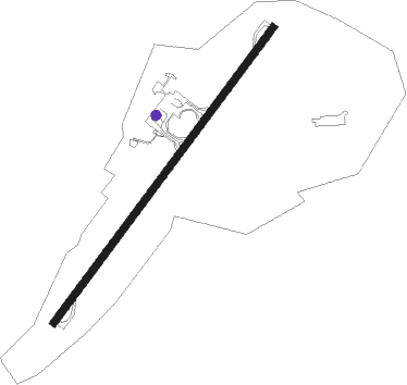
| Coordinates | 40.13827, 26.43863 |
| Magnetic var | |
| Type | land |
| Available since | X-Plane v10.40 |
| ICAO code | LTBH |
| IATA code | CKZ |
| FAA code | n/a |
Communication
| Canakkale Tower | 123.600 |
| Canakkale YESILKOY Approach | 122.100 |
Approach frequencies
| ILS-cat-I | RW04 | 108.15 | 18.00mi |
| 3° GS | RW04 | 108.15 | 18.00mi |
Nearby Points of Interest:
Dardanelles
-ANZAC Cove
-Gulf of Saros
-Gökçeada Lagoon
Nearby beacons
| code | identifier | dist | bearing | frequency |
|---|---|---|---|---|
| CNK | CANAKKALE NDB | 0.5 | 255° | 422 |
| GKA | GOKCEADA NDB | 23.7 | 275° | 384 |
| BIG | BIGA VOR/DME | 43.4 | 81° | 116.90 |
| EDR | EDREMIT NDB | 43.8 | 136° | 368 |
| ALX | ALEXANDROUPOLIS VOR/DME | 48.2 | 326° | 113.80 |
| ALP | ALEXANDROUPOLIS NDB | 48.7 | 325° | 351 |
| LSV | LESVOS VOR/DME | 54.4 | 181° | 114.20 |
| EKI | TEKIRDAG NDB | 66.4 | 51° | 317 |
Departure and arrival routes
| Transition altitude | 10000ft |
| SID end points | distance | outbound heading | |
|---|---|---|---|
| RW04 | |||
| OLDO1L | 21mi | 76° | |
| RW22 | |||
| SUVU1Y | 17mi | 86° | |
Holding patterns
| STAR name | hold at | type | turn | heading* | altitude | leg | speed limit |
|---|---|---|---|---|---|---|---|
| BIG1K | OBEPU | VHF | right | 37 (217)° | 2500ft - 5500ft | 1.0min timed | ICAO rules |
| BIG1T | OKURU | VHF | left | 84 (264)° | 5500ft - 9500ft | 1.0min timed | 230 |
| *) magnetic outbound (inbound) holding course | |||||||
Disclaimer
The information on this website is not for real aviation. Use this data with the X-Plane flight simulator only! Data taken with kind consent from X-Plane 12 source code and data files. Content is subject to change without notice.