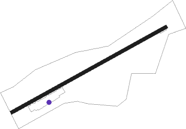
Imsik
Airport details
| Country | Turkey |
| State | Muğla Province |
| Region | LT |
| Airspace | Istanbul Ctr |
| Municipality | Bodrum |
| Elevation | 202ft (62m) |
| Timezone | GMT +3 |
| Coordinates | 37.13750, 27.66448 |
| Magnetic var | |
| Type | land |
| Available since | X-Plane v10.40 |
| ICAO code | LTBV |
| IATA code | BXN |
| FAA code | n/a |
Communication
| Imsik BODRUM Tower | 126.000 |
Nearby beacons
| code | identifier | dist | bearing | frequency |
|---|---|---|---|---|
| BDR | MILAS BODRUM NDB | 7.3 | 347° | 389 |
| KOS | KOS NDB | 34.5 | 239° | 311 |
| LRO | LEROS NDB | 41.3 | 273° | 419 |
| CLD | CILDIR (AYDIN) NDB | 42.1 | 18° | 480 |
| PAR | RODOS VOR/DME | 48.3 | 152° | 108.60 |
| ROS | RODOS NDB | 48.4 | 148° | 339 |
| SMO | SAMOS NDB | 48.5 | 306° | 375 |
| SAM | SAMOS VOR/DME | 48.9 | 306° | 111.60 |
| SEL | SELCUK-EFES NDB | 51.2 | 338° | 424 |
| RDS | RODOS VOR/DME | 51.9 | 152° | 115.80 |
Disclaimer
The information on this website is not for real aviation. Use this data with the X-Plane flight simulator only! Data taken with kind consent from X-Plane 12 source code and data files. Content is subject to change without notice.
