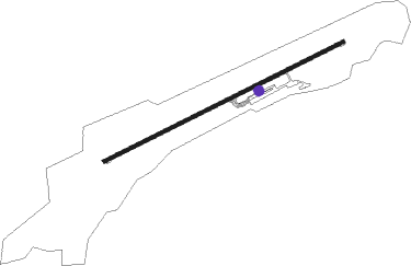
Siirt
Airport details
| Country | Turkey |
| State | Siirt Province |
| Region | LT |
| Airspace | Ankara Ctr |
| Municipality | Siirt Merkez |
| Elevation | 2000ft (610m) |
| Timezone | GMT +3 |
| Coordinates | 37.97805, 41.83917 |
| Magnetic var | |
| Type | land |
| Available since | X-Plane v10.40 |
| ICAO code | LTCL |
| IATA code | SXZ |
| FAA code | n/a |
Communication
| Siirt Tower | 132.050 |
| Siirt Ground Control | 121.900 |
| Siirt Approach | 120.150 |
Approach frequencies
| LOC | RW06 | 108.55 | 18.00mi |
Nearby beacons
| code | identifier | dist | bearing | frequency |
|---|---|---|---|---|
| SIR | SIIRT NDB | 0.1 | 241° | 409 |
| SRT | SIIRT VOR/DME | 4.5 | 148° | 114.30 |
| BAT | BATMAN NDB | 34.1 | 267° | 470 |
| RNA | SIRNAK NDB | 38.2 | 160° | 411 |
| MUS | MUS NDB | 47 | 347° | 319 |
| KML | KAMISHLY NDB | 64.4 | 214° | 312 |
| KML | KAMISHLY VOR/DME | 65.6 | 214° | 115.10 |
Departure and arrival routes
| Transition altitude | 12000ft |
| SID end points | distance | outbound heading | |
|---|---|---|---|
| RW24 | |||
| VAKU1M, VAKU1N | 15mi | 105° | |
| ABKA1M, ABKA1N | 15mi | 278° | |
| STAR starting points | distance | inbound heading | |
|---|---|---|---|
| ALL | |||
| ABKA1A, ABKA1B | 14.7 | 98° | |
| RW06 | |||
| ULSA1R | 34.8 | 103° | |
Disclaimer
The information on this website is not for real aviation. Use this data with the X-Plane flight simulator only! Data taken with kind consent from X-Plane 12 source code and data files. Content is subject to change without notice.
