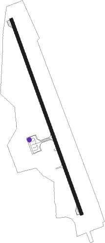
Agri
Airport details
| Country | Turkey |
| State | Ağrı Province |
| Region | LT |
| Airspace | Ankara Ctr |
| Municipality | Hamur |
| Elevation | 5458ft (1664m) |
| Timezone | GMT +3 |
| Coordinates | 39.64750, 43.02861 |
| Magnetic var | |
| Type | land |
| Available since | X-Plane v10.30 |
| ICAO code | LTCO |
| IATA code | AJI |
| FAA code | n/a |
Communication
| Agri Ground Control | 121.725 |
| Agri Tower | 118.475 |
Approach frequencies
| ILS-cat-I | RW16 | 108.15 | 18.00mi |
| 3° GS | RW16 | 108.15 | 18.00mi |
Nearby beacons
| code | identifier | dist | bearing | frequency |
|---|---|---|---|---|
| ARI | AGRI NDB | 0.1 | 222° | 289 |
| GDR | IGDIR NDB | 44.1 | 69° | 388 |
| KAR | KARS NDB | 54.7 | 5° | 431 |
Departure and arrival routes
| Transition altitude | 15000ft |
| SID end points | distance | outbound heading | |
|---|---|---|---|
| RW16 | |||
| INBA1A | 15mi | 280° | |
| RW34 | |||
| INBA1B | 15mi | 280° | |
| STAR starting points | distance | inbound heading | |
|---|---|---|---|
| RW16 | |||
| INBA1D | 15.1 | 100° | |
| RW34 | |||
| INBA1F | 15.1 | 100° | |
Holding patterns
| STAR name | hold at | type | turn | heading* | altitude | leg | speed limit |
|---|---|---|---|---|---|---|---|
| INBA1D | ARI | NDB | left | 342 (162)° | > 12000ft | 1.0min timed | ICAO rules |
| INBA1F | ARI | NDB | left | 342 (162)° | > 12000ft | 1.0min timed | ICAO rules |
| *) magnetic outbound (inbound) holding course | |||||||
Disclaimer
The information on this website is not for real aviation. Use this data with the X-Plane flight simulator only! Data taken with kind consent from X-Plane 12 source code and data files. Content is subject to change without notice.