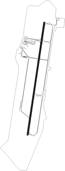
Košice - Kosice
Airport details
| Country | Slovakia |
| State | Region of Košice |
| Region | LZ |
| Airspace | Bratislava Ctr |
| Municipality | Košice |
| Elevation | 753ft (230m) |
| Timezone | GMT +1 |
| Coordinates | 48.66846, 21.23894 |
| Magnetic var | |
| Type | land |
| Available since | X-Plane v10.40 |
| ICAO code | LZKZ |
| IATA code | KSC |
| FAA code | n/a |
Communication
| Kosice ATIS | 133.730 |
| Kosice Tower | 120.400 |
| Kosice Tower | 118.900 |
| Kosice Approach | 119.850 |
| Kosice Approach | 129.350 |
| Kosice Departure | 120.400 |
Approach frequencies
| ILS-cat-II | RW01 | 109.5 | 18.00mi |
| 3° GS | RW01 | 109.5 | 18.00mi |
Nearby Points of Interest:
General Post office building in Košice
-Košice Town Hall
-Apartment block in Štefánikova, Podtatranského and Stará baštová Street
-The building of the Constitutional Court of the Slovak Republic
-Church of St. Joseph (Prešov)
-All Saints Church, Medzany
-Church in Šarišské Michaľany
-Castle (Borša)
Nearby beacons
| code | identifier | dist | bearing | frequency |
|---|---|---|---|---|
| KSC | KOSICE VOR/DME | 0.9 | 32° | 108.20 |
| KE | KOSICE NDB | 4.9 | 197° | 425 |
| DUB | DME | 17.6 | 41° | 108.65 |
| PE | TATRY EAST NDB | 39.3 | 296° | 438 |
| SAG | SAJOHIDVEG VOR/DME | 40.8 | 200° | 114.40 |
| PPD | TATRY NDB | 42.4 | 294° | 317 |
| KTN | DME | 43.6 | 313° | 114.10 |
| PQ | NYIREGYHAZA NDB | 43.9 | 146° | 522 |
| NYR | NYIREGYHAZA VOR/DME | 44.5 | 146° | 116.10 |
| Y | NYIREGYHAZA 36 NDB | 45.7 | 147° | 346 |
| NY | NYIREGYHAZA 36 NDB | 48.8 | 149° | 330 |
Departure and arrival routes
| Transition altitude | 8000ft |
| SID end points | distance | outbound heading | |
|---|---|---|---|
| RW01 | |||
| HATI1B, HATI1A | 20mi | 81° | |
| TAKO1B, TAKO1A | 39mi | 265° | |
| MARK2A, MARK2B | 26mi | 291° | |
| RAZE1A | 28mi | 342° | |
| RW19 | |||
| HATI1Z | 20mi | 81° | |
| TAKO1Y, TAKO1Z | 39mi | 265° | |
| MARK2Y, MARK2Z | 26mi | 291° | |
| RAZE1Y | 28mi | 342° | |
| STAR starting points | distance | inbound heading | |
|---|---|---|---|
| ALL | |||
| TAKO1L, TAKO1M | 38.9 | 85° | |
| MARK2L | 25.8 | 111° | |
| RAZE1L | 27.6 | 162° | |
| HATI1L | 19.6 | 261° | |
Holding patterns
| STAR name | hold at | type | turn | heading* | altitude | leg | speed limit |
|---|---|---|---|---|---|---|---|
| HATI1L | KSC | NDB | left | 7 (187)° | > 4500ft | 1.0min timed | ICAO rules |
| KEKE2L | KSC | NDB | left | 7 (187)° | > 4500ft | 1.0min timed | ICAO rules |
| MARK2L | KSC | NDB | left | 7 (187)° | > 4500ft | 1.0min timed | ICAO rules |
| RAZE1L | KSC | NDB | left | 7 (187)° | > 4500ft | 1.0min timed | ICAO rules |
| TAKO1L | KSC | NDB | left | 7 (187)° | > 4500ft | 1.0min timed | ICAO rules |
| *) magnetic outbound (inbound) holding course | |||||||
Disclaimer
The information on this website is not for real aviation. Use this data with the X-Plane flight simulator only! Data taken with kind consent from X-Plane 12 source code and data files. Content is subject to change without notice.