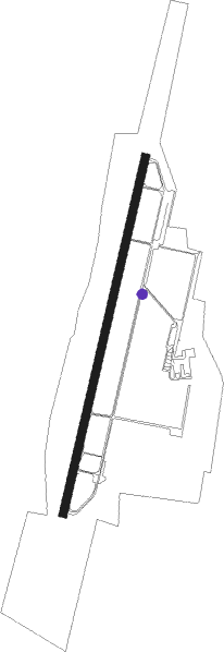
Malacky
Airport details
| Country | Slovakia |
| State | Region of Bratislava |
| Region | LZ |
| Airspace | Bratislava Ctr |
| Municipality | District of Malacky |
| Elevation | 679ft (207m) |
| Timezone | GMT +1 |
| Coordinates | 48.40203, 17.11839 |
| Magnetic var | |
| Type | land |
| Available since | X-Plane v10.40 |
| ICAO code | LZMC |
| IATA code | n/a |
| FAA code | n/a |
Communication
| MALACKY Tower | 129.600 |
| MALACKY Approach | 119.450 |
Nearby Points of Interest:
Orphanage in Modra
-City walls of Marchegg
-Agatha of Sicily Church
-Parish church Marchegg
-Pfarrkirche Sierndorf an der March
-Saint James the Greater Church (Dürnkrut)
-Jewish cemetery Dürnkrut
-Filialkirche hl. Michael, Waltersdorf an der March
-Saint Lawrence Church
-Pfarrkirche hl. Leonhard, Ollersdorf
-Pfarrkirche Ebenthal (Niederösterreich)
-St. Petrus und Paulus
-Pfarrkirche Groißenbrunn
-Pfarrkirche Markthof
-Meierhof des ehem. Schlosses Niederabsdorf
-Church of the Assumption
-Pfarrkirche Weikendorf
-Pfarrhof
-Fakulta architektúry Slovenskej technickej univerzity (budova)
-Hrob Ferka Urbánka
-Braníkov dom
-Polish Institute in Bratislava
-Embassy of Japan, Bratislava
-Spanish Embassy, Bratislava
-Old building of the Slovak National Theatre
Nearby beacons
| code | identifier | dist | bearing | frequency |
|---|---|---|---|---|
| OKR | STEFANIK NORTH NDB | 12.7 | 136° | 391 |
| B | BARKA (BRATISLAVA) NDB | 15.8 | 154° | 438 |
| OB | STEFANIK SOUTH NDB | 18.6 | 148° | 330 |
| JAN | JANOVCE VOR/DME | 21.6 | 118° | 110.80 |
| WGM | WAGRAM VOR/DME | 25.4 | 263° | 112.20 |
| BRK | BRUCK NDB | 25.9 | 230° | 408 |
| FMD | FISCHAMEND VOR/DME | 26.4 | 239° | 110.40 |
| PNY | CENTR (PIESTANY) NDB | 30.6 | 74° | 297 |
| STE | STEINHOF NDB | 36.6 | 258° | 293 |
| NIT | NITRA VOR/DME | 37.8 | 97° | 116.50 |
| KNE | KUNOVICE NDB | 40.9 | 27° | 434 |
| KUN | KUNOVICE NDB | 45.3 | 28° | 416 |
| SNU | SOLLENAU VOR/DME | 45.9 | 238° | 115.50 |
| B | BOREK (BRNO) NDB | 47.4 | 332° | 429 |
| BNO | BRNO VOR/DME | 47.9 | 330° | 114.45 |
| GYR | GYOR VOR/DME | 50.8 | 141° | 115.10 |
| LA | NAMEST NDB | 57.6 | 308° | 514 |
| L | NAMEST NDB | 58.9 | 308° | 362 |
| CP | PAPA NDB | 61.4 | 160° | 318 |
Disclaimer
The information on this website is not for real aviation. Use this data with the X-Plane flight simulator only! Data taken with kind consent from X-Plane 12 source code and data files. Content is subject to change without notice.