Calvert City - Kentucky Dam State Park
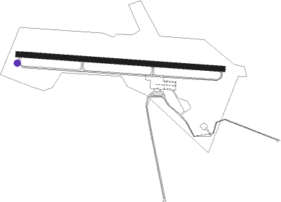
Airport details
| Country | United States of America |
| State | Kentucky |
| Region | K5 |
| Airspace | Memphis Ctr |
| Municipality | Marshall County |
| Elevation | 349ft (106m) |
| Timezone | GMT -6 |
| Coordinates | 37.00969, -88.29933 |
| Magnetic var | |
| Type | land |
| Available since | X-Plane v10.40 |
| ICAO code | M34 |
| IATA code | n/a |
| FAA code | n/a |
Communication
| Kentucky Dam State Park AWOS 3 | 120.625 |
| Kentucky Dam State Park CTAF/UNICOM | 123.000 |
Nearby Points of Interest:
Oak Hill
-Thomas Lawson House
-Masonic Hall-Federal Commissary Building
-Gower House
-Pete Lyles House
-Frances School Gymnasium
-Paducah Freight House
-Masonic Temple
-Lloyd Tilghman House
-David Yeiser House
-Confederate Monument in Paducah
-Fredonia Cumberland Presbyterian Church
-Kenmil Place
-L.B. Overby House
-Princeton Downtown Commercial District
-Adsmore
-Wooldridge Monuments
-Elijah P. Curtis House
-First Christian Church
-Cadiz Masonic Lodge No. 121 F. and A.M.
-Edwin S. Diuguid House
-Cadiz Downtown Historic District
-Calloway County Courthouse
-First Baptist Church
-Orr-Herl Mound and Village Site
Nearby beacons
| code | identifier | dist | bearing | frequency |
|---|---|---|---|---|
| EU | MUREY (MURRAY) NDB | 17.3 | 178° | 368 |
| CNG | CUNNINGHAM (PADUCAH) VOR/DME | 25.7 | 270° | 113.10 |
| HXW | SCREAMING EAGLE TACAN | 43.3 | 114° | 114.90 |
| CIR | CAIRO NDB | 44.3 | 273° | 397 |
| FK | AIRBE(FT CAMPBELL/HOPKINSVILLE NDB | 45.5 | 107° | 273 |
| CKV | CLARKSVILLE VOR/DME | 48.5 | 114° | 110.60 |
| CK | SNUFF(FT CAMPBELL (CLARKSVILLE NDB | 52.6 | 118° | 335 |
| UC | OBION (UNION CITY) NDB | 54.3 | 224° | 212 |
| MWA | DME | 56.1 | 316° | 110.40 |
| MW | JONNY (MARION) NDB | 59.2 | 321° | 382 |
| PXV | POCKET CITY (EVANSVILLE) VORTAC | 60.8 | 30° | 113.30 |
| MD | CABBI (CARBONDALE-MURPHYSBORO) NDB | 68.6 | 312° | 388 |
Disclaimer
The information on this website is not for real aviation. Use this data with the X-Plane flight simulator only! Data taken with kind consent from X-Plane 12 source code and data files. Content is subject to change without notice.