Ciudad Obregón - Ciudad Obregon Intl
Airport details
| Country | Mexico |
| State | Sonora |
| Region | MM |
| Airspace | Mazatlan Ctr |
| Municipality | Ciudad Obregón |
| Elevation | 205ft (62m) |
| Timezone | GMT -7 |
| Coordinates | 27.39304, -109.83338 |
| Magnetic var | |
| Type | land |
| Available since | X-Plane v11.50 |
| ICAO code | MMCN |
| IATA code | CEN |
| FAA code | n/a |
Communication
| Ciudad Obregon INTL ATIS | 127.600 |
| Ciudad Obregon INTL OBREGON Approach/Tower | 118.300 |
Nearby Points of Interest:
Sacred Heart of Jesus Cathedral, Ciudad Obregón
-Temple of Saint Rose of Lima
Nearby beacons
| code | identifier | dist | bearing | frequency |
|---|---|---|---|---|
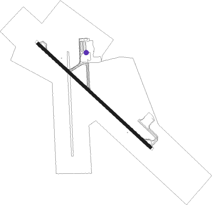
| CEN | OBREGON (CIUDAD OBREGON) VOR/DME | 0.2 | 294° | 115.10 |
Departure and arrival routes
| Transition altitude | 18500ft |
| Transition level | 19500ft |
| SID end points | distance | outbound heading | |
|---|---|---|---|
| RW13 | |||
| TETIN1 | 30mi | 115° | |
| EMANI2 | 30mi | 138° | |
| BAMPO3 | 20mi | 156° | |
| ENATA3 | 30mi | 190° | |
| OLUL2A | 21mi | 228° | |
| RW31 | |||
| OLUL2B | 21mi | 228° | |
| SUTNU2 | 20mi | 298° | |
| USBEN3 | 30mi | 325° | |
Disclaimer
The information on this website is not for real aviation. Use this data with the X-Plane flight simulator only! Data taken with kind consent from X-Plane 12 source code and data files. Content is subject to change without notice.