Durango - Durango Intl
Airport details
| Country | Mexico |
| State | Durango |
| Region | MM |
| Airspace | Mazatlan Ctr |
| Municipality | Municipio de Durango |
| Elevation | 6104ft (1860m) |
| Timezone | GMT -6 |
| Coordinates | 24.12468, -104.53403 |
| Magnetic var | |
| Type | land |
| Available since | X-Plane v10.40 |
| ICAO code | MMDO |
| IATA code | DGO |
| FAA code | n/a |
Communication
| Durango Intl ATIS | 132.100 |
| Durango Intl Tower | 118.100 |
Nearby Points of Interest:
Ganot-Peschard Museum of Archeology
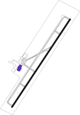
Runway info
| Runway 03 / 21 | ||
| length | 2915m (9564ft) | |
| bearing | 41° / 221° | |
| width | 45m (147ft) | |
| surface | asphalt | |
| displ threshold | 5m (16ft) / 6m (20ft) | |
| blast zone | 57m (187ft) / 60m (197ft) | |
Nearby beacons
| code | identifier | dist | bearing | frequency |
|---|---|---|---|---|
| DGO | DURANGO VOR/DME | 1.2 | 53° | 112.90 |
Departure and arrival routes
| Transition altitude | 18500ft |
| Transition level | 19500ft |
| SID end points | distance | outbound heading | |
|---|---|---|---|
| RW03 | |||
| VIKDO2 | 55mi | 23° | |
| ELOLU2 | 54mi | 38° | |
| BOPEM2 | 55mi | 53° | |
| ODKOK2 | 51mi | 68° | |
| TUGIR2 | 51mi | 88° | |
| SEKU2A | 50mi | 123° | |
| AVOX3A | 50mi | 306° | |
| IKMAN1 | 51mi | 344° | |
| RW21 | |||
| SEKU2B | 50mi | 123° | |
| MUTUB2 | 50mi | 136° | |
| SESVA2 | 50mi | 160° | |
| TAKNI2 | 49mi | 186° | |
| UKIKI2 | 55mi | 241° | |
| LONRI2 | 49mi | 283° | |
| AVOX3B | 50mi | 306° | |
Disclaimer
The information on this website is not for real aviation. Use this data with the X-Plane flight simulator only! Data taken with kind consent from X-Plane 12 source code and data files. Content is subject to change without notice.