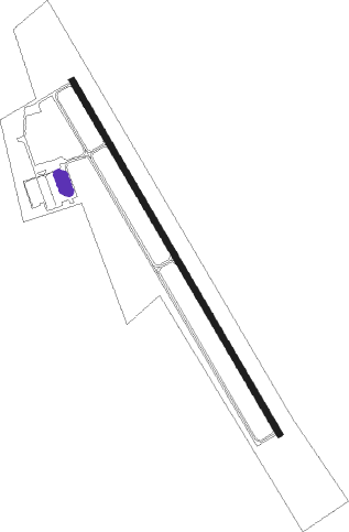
Washington - Washington Regl
Airport details
| Country | United States of America |
| State | Missouri |
| Region | K3 |
| Airspace | Kansas City Ctr |
| Municipality | Warren County |
| Elevation | 485ft (148m) |
| Timezone | GMT -6 |
| Coordinates | 38.58758, -90.99380 |
| Magnetic var | |
| Type | land |
| Available since | X-Plane v10.40 |
| ICAO code | MO6 |
| IATA code | n/a |
| FAA code | FYG |
Communication
| Washington Regl AWOS-3 | 121.325 |
| Washington Regl CTAF | 122.800 |
| Washington Regl STL Aprch Dep | 126.500 |
Nearby Points of Interest:
John F. Schwegmann House
-Franz Schwarzer House
-Stephen M. Jones Building
-George Tamm Building
-Spaunhorst and Mayn Building
-Fred Schnier Building
-Casper Kruse House
-Henry Charles Eitzen Building
-Louis Wehrmann Building
-Henry C. Thias House
-Locust Street Historic District
-Henry J. Buhr House
-Tibbe Historic District
-Stafford-Olive Historic District
-Albert Krog House
-Henry Degen House
-Dr. H. A. May House
-Fore Shoe Company Building
-Henry Bartelmann House
-Henry F. Beinke House
-John H. Broeker House
-Henry Beins House
-Joseph Raaf House
-Frank Mense House
-John Meyer House
Nearby beacons
| code | identifier | dist | bearing | frequency |
|---|---|---|---|---|
| FTZ | FORISTELL VORTAC | 6.4 | 12° | 110.80 |
| SU | SNOOP (ST LOUIS) NDB | 11 | 77° | 326 |
| FZ | EAVES (ST LOUIS) NDB | 21.6 | 79° | 227 |
| STL | SAINT LOUIS VORTAC | 29 | 62° | 117.40 |
| CSX | DME | 31.2 | 75° | 116.45 |
| VIH | VICHY (ROLLA/VICHY) VOR/DME | 42.4 | 239° | 117.70 |
| CP | ACORE (CAHOKIA/ST LOUIS) NDB | 44 | 94° | 350 |
| CVM | CIVIC MEMORIAL (ALTON) NDB | 47.5 | 72° | 263 |
| FAM | FARMINGTON VORTAC | 65.5 | 140° | 115.70 |
| MAP | MAPLES TACAN | 70.6 | 219° | 113.40 |
Disclaimer
The information on this website is not for real aviation. Use this data with the X-Plane flight simulator only! Data taken with kind consent from X-Plane 12 source code and data files. Content is subject to change without notice.
