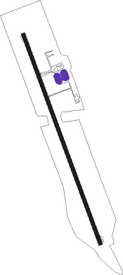
Cap Scarlett Martinez
Airport details
| Country | Panama |
| State | Coclé |
| Region | MP |
| Airspace | Panama Ctr |
| Municipality | Distrito Antón |
| Elevation | 121ft (37m) |
| Timezone | GMT -5 |
| Coordinates | 8.38000, -80.12972 |
| Magnetic var | |
| Type | land |
| Available since | X-Plane v10.40 |
| ICAO code | MPSM |
| IATA code | RIH |
| FAA code | n/a |
Communication
Approach frequencies
| ILS-cat-I | RW35 | 110.3 | 18.00mi |
| 3° GS | RW35 | 110.3 | 18.00mi |
Nearby beacons
| code | identifier | dist | bearing | frequency |
|---|---|---|---|---|
| RHT | RIO HATO VOR/DME | 0.3 | 147° | 116.50 |
| CHE | CHITRE NDB | 29.1 | 215° | 440 |
| TBG | TABOGA ISLAND VOR/DME | 41.6 | 54° | 110 |
| STG | SANTIAGO VOR/DME | 51.2 | 250° | 114.50 |
| TUM | TOCUMEN VOR/DME | 59.1 | 47° | 117.10 |
| FNC | FRANCE VOR/DME | 60.6 | 15° | 109 |
Instrument approach procedures
| runway | airway (heading) | route (dist, bearing) |
|---|---|---|
| RW35 | MARLU (9°) | MARLU 3000ft RH701 (5mi, 74°) 2000ft |
| RW35 | REMEM (319°) | REMEM 3000ft RH701 (5mi, 255°) 2000ft |
| RNAV | RH701 2000ft ETIKA (5mi, 344°) 1700ft MPSM (6mi, 344°) 124ft (4819mi, 96°) 1000ft MARLU (4820mi, 276°) 4000ft MARLU (turn) 4000ft |
Disclaimer
The information on this website is not for real aviation. Use this data with the X-Plane flight simulator only! Data taken with kind consent from X-Plane 12 source code and data files. Content is subject to change without notice.
