Mayersville - Purvis Field
Airport details
| Country | United States of America |
| State | Mississippi |
| Region | |
| Airspace | Memphis Ctr |
| Municipality | Jones County |
| Elevation | 234ft (71m) |
| Timezone | GMT -6 |
| Coordinates | 31.56907, -89.09160 |
| Magnetic var | |
| Type | land |
| Available since | X-Plane v10.40 |
| ICAO code | MS92 |
| IATA code | n/a |
| FAA code | MS92 |
Communication
Nearby Points of Interest:
Newell Rogers House
-Laurel Central Historic District
-Eaton Elementary School
-Walthall School
-Longleaf Trace
-Beverly Drive-In Theater
-Mahned Bridge
-Old Augusta Historic Site
-Covington County Courthouse
-Quitman Depot
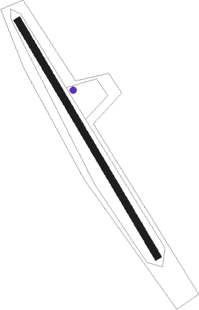
Runway info
| Runway 15 / 33 | ||
| length | 408m (1339ft) | |
| bearing | 150° / 330° | |
| width | 11m (35ft) | |
| surface | grass | |
Nearby beacons
| code | identifier | dist | bearing | frequency |
|---|---|---|---|---|
| LBY | EATON (HATTIESBURG) VORTAC | 15.5 | 239° | 110.60 |
| GCV | GREENE CO. (LEAKESVILLE) VORTAC | 42 | 128° | 115.70 |
| MEI | MERIDIAN VORTAC | 50.7 | 20° | 117 |
| GVB | BOGALUSA NDB | 57.1 | 228° | 353 |
| EWA | DME | 57.8 | 38° | 113.80 |
| SJI | SEMMES (MOBILE) VORTAC | 63 | 139° | 115.30 |
| MOB | WISLE (MOBILE) NDB | 63.2 | 136° | 248 |
Disclaimer
The information on this website is not for real aviation. Use this data with the X-Plane flight simulator only! Data taken with kind consent from X-Plane 12 source code and data files. Content is subject to change without notice.