Laurel - Skywagon Ranch
Airport details
| Country | United States of America |
| State | Montana |
| Region | K1 |
| Airspace | Salt Lake City Ctr |
| Municipality | Yellowstone County |
| Elevation | 3503ft (1068m) |
| Timezone | GMT -7 |
| Coordinates | 45.78432, -108.73065 |
| Magnetic var | |
| Type | land |
| Available since | X-Plane v10.40 |
| ICAO code | MT40 |
| IATA code | n/a |
| FAA code | MT40 |
Communication
| Skywagon Ranch AWOS-2 (Laurel) | 135.050 |
| Skywagon Ranch CTAF | 122.800 |
Nearby Points of Interest:
Masonic Temple
-Billings Chamber of Commerce Building
-Fire House No. 2
-Oliver Building
-United States Post Office and Courthouse–Billings
-L and L Building
-Pictograph Cave
-Joliet Bridge
-Michael Jacobs House
-Fromberg Concrete Arch Bridge
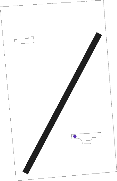
Runway info
| Runway 03 / 21 | ||
| length | 717m (2352ft) | |
| bearing | 42° / 222° | |
| width | 27m (90ft) | |
| surface | dirt | |
Nearby beacons
| code | identifier | dist | bearing | frequency |
|---|---|---|---|---|
| BIL | BILLINGS VORTAC | 4.6 | 77° | 114.50 |
| HCY | COWLEY NDB | 53.6 | 162° | 257 |
| POY | POWELL NDB | 55.1 | 183° | 344 |
Disclaimer
The information on this website is not for real aviation. Use this data with the X-Plane flight simulator only! Data taken with kind consent from X-Plane 12 source code and data files. Content is subject to change without notice.