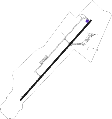
Holguin - Frank Pais Intl
Airport details
| Country | Cuba |
| State | Holguín |
| Region | MU |
| Airspace | Havana Ctr |
| Elevation | 359ft (109m) |
| Timezone | GMT -5 |
| Coordinates | 20.78555, -76.31500 |
| Magnetic var | |
| Type | land |
| Available since | X-Plane v10.40 |
| ICAO code | MUHG |
| IATA code | HOG |
| FAA code | n/a |
Communication
| Frank Pais Intl HOLGUIN RDO | 126.900 |
| Frank Pais Intl HOLGUIN Tower | 118.000 |
| Frank Pais Intl HOLGUIN Approach | 119.100 |
Approach frequencies
| ILS-cat-I | RW05 | 111.3 | 18.00mi |
| 3° GS | RW05 | 111.3 | 18.00mi |
Nearby beacons
| code | identifier | dist | bearing | frequency |
|---|---|---|---|---|
| UHG | HOLGUIN VOR/DME | 1 | 44° | 116.80 |
| UCU | SANTIAGO DE CUBA VOR/DME | 55.8 | 149° | 113.30 |
Departure and arrival routes
| Transition altitude | 3000ft |
| SID end points | distance | outbound heading | |
|---|---|---|---|
| RW05 | |||
| KEDAG1 | 173mi | 106° | |
| PIKTI1 | 72mi | 280° | |
| XOSUT2 | 237mi | 322° | |
| RW23 | |||
| NABO2B | 173mi | 106° | |
| PIKTI2 | 237mi | 322° | |
| STAR starting points | distance | inbound heading | |
|---|---|---|---|
| RW05 | |||
| BEMUV5 | 33.2 | 123° | |
| NABOL2 | 21.4 | 327° | |
| RW23 | |||
| XOSUT1 | 30.1 | 182° | |
| EMULI2 | 23.2 | 292° | |
Instrument approach procedures
| runway | airway (heading) | route (dist, bearing) |
|---|---|---|
| RW05 | HG600 (76°) | HG600 3000ft BONUB (6mi, 135°) 2000ft |
| RW05 | HG601 (19°) | HG601 3000ft BONUB (6mi, 315°) 2000ft |
| RNAV | BONUB 2000ft HG605 (5mi, 48°) 2000ft MUHG (6mi, 48°) 329ft (4638mi, 105°) 1000ft KESTU (4625mi, 285°) KESTU (turn) | |
| RW23 | HG611 (201°) | HG611 3000ft OVATO (6mi, 135°) 3000ft |
| RW23 | HG612 (253°) | HG612 3000ft OVATO (6mi, 315°) 3000ft |
| RNAV | OVATO 3000ft HG624 (6mi, 228°) 2000ft MUHG (6mi, 228°) 411ft (4638mi, 105°) 1500ft KESTU (4625mi, 285°) KESTU (turn) |
Holding patterns
| STAR name | hold at | type | turn | heading* | altitude | leg | speed limit |
|---|---|---|---|---|---|---|---|
| BEMUV5 | BEMUV | VHF | right | 334 (154)° | 4000ft - 14000ft | DME 4.2mi | 230 |
| EMULI2 | EMULI | VHF | right | 156 (336)° | 5000ft - 14000ft | DME 4.3mi | 230 |
| NABOL2 | NABOL | VHF | right | 121 (301)° | 5000ft - 14000ft | DME 4.3mi | 230 |
| XOSUT1 | XOSUT | VHF | right | 357 (177)° | 4000ft - 14000ft | DME 4.2mi | 230 |
| *) magnetic outbound (inbound) holding course | |||||||
Disclaimer
The information on this website is not for real aviation. Use this data with the X-Plane flight simulator only! Data taken with kind consent from X-Plane 12 source code and data files. Content is subject to change without notice.