Airports for X-Plane offers a convenient way to explore airports and their related communication information for the X-Plane flight simulator. It only uses data from the X-Plane flight simulator itself, and is therefore more reliable than the data that comes from real aviation websites. You can search for airports by using the ICAO code, or browse for airports per country and state. The information displayed is categorized by airport details, runway information, airport communication, approach frequencies (ILS and Glidepath details), details of nearby beacons, SIDs, STARs and approach procedures.

hospital embassy transit local government helicopters train air terminal airdock kennedy airdrome aerodrome landing jet near aircraft carrier hangar warfare airport authority pilot passenger

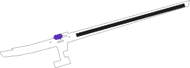
Hawks Nest Creek - Hawks Nest

Airport details

CountryBahamas
StateCat Island
RegionMY
AirspaceMiami Oceanic Ctr
Elevation1ft (0m)
TimezoneGMT -5
Coordinates24.15379, -75.52212
Magnetic var
Typeland
Available sinceX-Plane v10.40
ICAO codeMYE4
IATA coden/a
FAA coden/a

Communication

No airport communication available for MYE4

Runway info

Runway 08 / 26
 length917m (3009ft)
 bearing80° / 260°
 width24m (80ft)
 surfaceasphalt
 blast zone0m (0ft) / 31m (102ft)

Airport layout - parking location Ramp


Parking locations

Nearby beacons

codeidentifierdistbearingfrequency
ZSJSAN SALVADOR NDB54.495°281

Disclaimer

The information on this website is not for real aviation. Use this data with the X-Plane flight simulator only! Data taken with kind consent from X-Plane 12 source code and data files. Content is subject to change without notice.