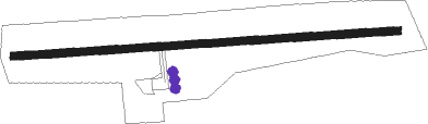
Maota
Airport details
| Country | Samoa |
| State | Faʻasaleleaga |
| Region | NS |
| Elevation | 20ft (6m) |
| Timezone | GMT +13 |
| Coordinates | -13.74250, -172.25833 |
| Magnetic var | |
| Type | land |
| Available since | X-Plane v10.40 |
| ICAO code | NSMA |
| IATA code | MXS |
| FAA code | n/a |
Communication
Nearby beacons
| code | identifier | dist | bearing | frequency |
|---|---|---|---|---|
| FA | FALEOLO NDB | 14.9 | 109° | 270 |
| FA | FALEOLO VOR/DME | 16.3 | 108° | 113.90 |
Instrument approach procedures
| runway | airway (heading) | route (dist, bearing) |
|---|---|---|
| RW08 | MAPTA (63°) | MAPTA IBIMA (9mi, 46°) 2000ft |
| RNAV | IBIMA 2000ft MA401 (5mi, 75°) 1900ft MA602 (5mi, 75°) 363ft MAPTA (18mi, 241°) 2000ft |
Disclaimer
The information on this website is not for real aviation. Use this data with the X-Plane flight simulator only! Data taken with kind consent from X-Plane 12 source code and data files. Content is subject to change without notice.