Lifou - Wanaham
Airport details
| Country | France |
| State | [Other] |
| Region | NW |
| Municipality | Lifou |
| Elevation | 89ft (27m) |
| Timezone | GMT +11 |
| Coordinates | -20.77500, 167.23972 |
| Magnetic var | |
| Type | land |
| Available since | X-Plane v10.40 |
| ICAO code | NWWL |
| IATA code | LIF |
| FAA code | n/a |
Communication
| Wanaham LIFOU Tower | 118.500 |
| Wanaham TONTOUTA Approach | 125.100 |
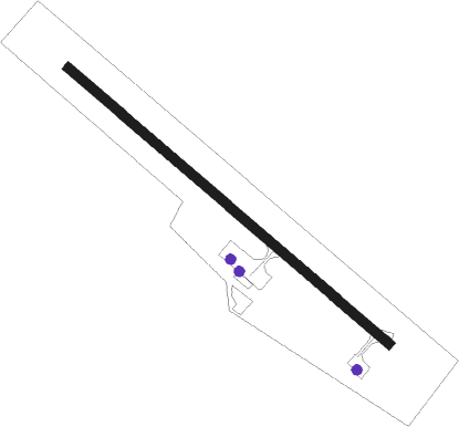
Runway info
| Runway 12 / 30 | ||
| length | 1245m (4085ft) | |
| bearing | 133° / 313° | |
| width | 30m (98ft) | |
| surface | concrete | |
| blast zone | 150m (492ft) / 0m (0ft) | |
Nearby beacons
| code | identifier | dist | bearing | frequency |
|---|---|---|---|---|
| LFU | DME | 0 | 46° | 113.30 |
| LU | LIFOU NDB | 0 | 260° | 264 |
| OA | OUVEA NDB | 38.3 | 281° | 402 |
| MR | MARE NDB | 61.5 | 132° | 388 |
Instrument approach procedures
| runway | airway (heading) | route (dist, bearing) |
|---|---|---|
| RW12 | IWL12 (133°) | IWL12 1700ft |
| RW12 | WL600 (111°) | WL600 1700ft IWL12 (4mi, 47°) 1700ft |
| RNAV | IWL12 1700ft FWL12 (4mi, 133°) 1700ft NWWL (5mi, 133°) 139ft WL610 (5mi, 133°) WL611 (4mi, 227°) WL612 (9mi, 313°) 2700ft WL600 (5mi, 320°) 1700ft IWL12 (4mi, 47°) 2700ft IWL12 (turn) | |
| RW30 | IWL30 (313°) | IWL30 1700ft |
| RW30 | WL700 (338°) | WL700 1700ft IWL30 (4mi, 47°) 1700ft |
| RNAV | IWL30 1700ft FWL30 (4mi, 313°) 1700ft NWWL (4mi, 313°) 143ft WL710 (5mi, 313°) WL711 (4mi, 227°) WL712 (8mi, 133°) 2700ft WL700 (5mi, 126°) 1700ft IWL30 (4mi, 47°) 2700ft IWL30 (turn) |
Disclaimer
The information on this website is not for real aviation. Use this data with the X-Plane flight simulator only! Data taken with kind consent from X-Plane 12 source code and data files. Content is subject to change without notice.