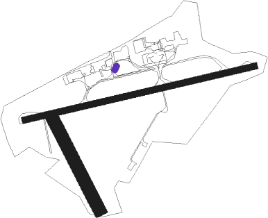
Whangarei
Airport details
| Country | New Zealand |
| State | Northland |
| Region | NZ |
| Municipality | Whangārei |
| Elevation | 126ft (38m) |
| Timezone | GMT +12 |
| Coordinates | -35.76833, 174.36501 |
| Magnetic var | |
| Type | land |
| Available since | X-Plane v10.40 |
| ICAO code | NZWR |
| IATA code | WRE |
| FAA code | n/a |
Communication
| Whangarei CTAF | 118.600 |
| Whangarei CHRISTCHURCH FIS | 124.900 |
Nearby Points of Interest:
Oruaiti Chapel
-Ruatuna
-Waitangi Treaty Monument

Nearby beacons
| code | identifier | dist | bearing | frequency |
|---|---|---|---|---|
| WR | WHANGAREI NDB | 0.2 | 222° | 326 |
| SF | SPRINGFIELD (WHANGAREI) NDB | 7 | 184° | 366 |
| KK | KERIKERI NDB | 37.6 | 318° | 226 |
Instrument approach procedures
| runway | airway (heading) | route (dist, bearing) |
|---|---|---|
| RW06 | LEECH (36°) | LEECH OMANA (5mi, 315°) 3200ft |
| RW06 | OMANA (59°) | OMANA 3200ft |
| RW06 | OTUHI (79°) | OTUHI OMANA (5mi, 135°) 3200ft |
| RNAV | OMANA 3200ft ADKES (5mi, 57°) 2250ft WR601 (5mi, 57°) 657ft SF (6mi, 165°) OMANA (9mi, 270°) 3200ft OMANA (turn) 3200ft | |
| RWNVC | SF (4°) | SF 2300ft |
| RNAV | SF 2300ft DUDAP (3mi, 2°) 1700ft WR431 (4mi, 2°) 690ft SF (6mi, 182°) 2300ft SF (turn) 2300ft | |
| RWNVD | BIRAX (321°) | BIRAX 3500ft |
| RNAV | BIRAX 3500ft MONSU (5mi, 344°) 1900ft WR983 (3mi, 311°) 940ft BIRAX (8mi, 151°) 3500ft BIRAX (turn) 3500ft |
Disclaimer
The information on this website is not for real aviation. Use this data with the X-Plane flight simulator only! Data taken with kind consent from X-Plane 12 source code and data files. Content is subject to change without notice.