Sitrah - Shaikh Isa Ab
Airport details
| Country | Bahrain |
| State | Southern Governorate |
| Region | OB |
| Airspace | Bahrain Ctr |
| Elevation | 136ft (41m) |
| Timezone | GMT +3 |
| Coordinates | 25.91836, 50.59060 |
| Magnetic var | |
| Type | land |
| Available since | X-Plane v10.40 |
| ICAO code | OBBS |
| IATA code | n/a |
| FAA code | n/a |
Communication
| Shaikh Isa AB Ground Control | 125.950 |
| Shaikh Isa AB Tower | 125.450 |
| Shaikh Isa AB Approach | 124.950 |
| Shaikh Isa AB Departure | 124.950 |
Approach frequencies
| ILS-cat-I | RW33R | 110.15 | 18.00mi |
| 3° GS | RW33R | 110.15 | 18.00mi |
Nearby Points of Interest:
Manama
-Bahrain Pearling Trail
-Zubarah
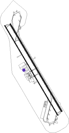
Runway info
Runway 15R / 33L  | ||
| length | 3935m (12910ft) | |
| bearing | 151° / 331° | |
| width | 30m (98ft) | |
| surface | asphalt | |
| displ threshold | 123m (404ft) / 123m (404ft) | |
| Runway 15L / 33R | ||
| length | 3812m (12507ft) | |
| bearing | 151° / 331° | |
| width | 45m (148ft) | |
| surface | asphalt | |
| blast zone | 156m (512ft) / 152m (499ft) | |
Nearby beacons
| code | identifier | dist | bearing | frequency |
|---|---|---|---|---|
| SIA | ISA AB (BAHRAIN) VORTAC | 0.2 | 358° | 117.60 |
| SI | ISA AB (BAHRAIN) NDB | 1.6 | 151° | 343 |
| BHR | BAHRAIN VOR/DME | 20.7 | 11° | 111.80 |
| DHA | DHAHRAN VORTAC | 31.8 | 307° | 117.20 |
| AQ | ABQAIQ NDB | 53.7 | 269° | 290 |
| KFA | DAMMAM VORTAC | 55.8 | 305° | 112.30 |
| RT | RAS TANURA NDB | 56 | 325° | 286 |
| ALD | AL UDEID VORTAC | 63.6 | 138° | 115.20 |
| DIA | DOHA INTL VOR/DME | 67.4 | 125° | 112.40 |
Disclaimer
The information on this website is not for real aviation. Use this data with the X-Plane flight simulator only! Data taken with kind consent from X-Plane 12 source code and data files. Content is subject to change without notice.