Qaisumah
Airport details
| Country | Saudi Arabia |
| State | Eastern Province |
| Region | OE |
| Airspace | Jeddah Ctr |
| Municipality | Al Qaysumah |
| Elevation | 1171ft (357m) |
| Timezone | GMT +3 |
| Coordinates | 28.33523, 46.12493 |
| Magnetic var | |
| Type | land |
| Available since | X-Plane v10.40 |
| ICAO code | OEPA |
| IATA code | AQI |
| FAA code | n/a |
Communication
| Qaisumah CTAF | 122.800 |
Approach frequencies
| ILS-cat-I | RW34 | 108.5 | 18.00mi |
| 3° GS | RW34 | 108.5 | 18.00mi |
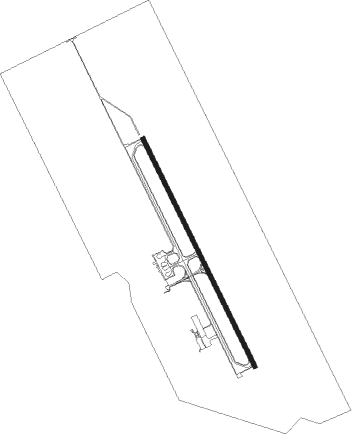
Runway info
| Runway 16 / 34 | ||
| length | 3059m (10036ft) | |
| bearing | 156° / 336° | |
| width | 46m (150ft) | |
| surface | asphalt | |
| blast zone | 61m (200ft) / 61m (200ft) | |
Nearby beacons
| code | identifier | dist | bearing | frequency |
|---|---|---|---|---|
| HFR | HAFR AL BATIN (AL QAISUMA VORTAC | 1.3 | 341° | 113.10 |
| KMC | KING SAUD AB (HAFR AL BAT VORTAC | 40.6 | 231° | 115.90 |
Instrument approach procedures
| runway | airway (heading) | route (dist, bearing) |
|---|---|---|
| RW16 | EGTIV (112°) | EGTIV 8000ft PA540 (16mi, 98°) EGMAG (7mi, 70°) 3000ft |
| RW16 | ITNEM (296°) | ITNEM 12000ft PA510 (25mi, 318°) 6000ft PA530 (11mi, 318°) EGMAG (7mi, 251°) 3000ft |
| RW16 | MITID (82°) | MITID 7000ft PA540 (16mi, 37°) EGMAG (7mi, 70°) 3000ft |
| RW16 | NONLU (349°) | NONLU 11000ft PA520 (28mi, 330°) 5000ft PA540 (6mi, 335°) EGMAG (7mi, 70°) 3000ft |
| RW16 | ODGEX (54°) | ODGEX 10000ft PA520 (16mi, 17°) 5000ft PA540 (6mi, 335°) EGMAG (7mi, 70°) 3000ft |
| RW16 | OTUBA (286°) | OTUBA 10000ft PA510 (23mi, 306°) 6000ft PA530 (11mi, 318°) EGMAG (7mi, 251°) 3000ft |
| RW16 | UKTUL (241°) | UKTUL 7000ft PA530 (14mi, 294°) EGMAG (7mi, 251°) 3000ft |
| RNAV | EGMAG 3000ft PA550 (7mi, 156°) 3000ft OEPA (6mi, 157°) 1223ft PA560 (4mi, 154°) PA570 (7mi, 71°) PA530 (18mi, 336°) EGMAG (7mi, 251°) 3000ft EGMAG (turn) 3000ft | |
| RW34 | EGTIV (112°) | EGTIV 11000ft PA420 (27mi, 138°) 6000ft PA440 (10mi, 119°) SILKU (7mi, 70°) 3000ft |
| RW34 | ITNEM (296°) | ITNEM 7000ft PA430 (14mi, 290°) SILKU (7mi, 251°) 3000ft |
| RW34 | MITID (82°) | MITID 9000ft PA420 (11mi, 115°) 6000ft PA440 (10mi, 119°) SILKU (7mi, 70°) 3000ft |
| RW34 | NONLU (349°) | NONLU 5000ft SILKU (10mi, 5°) 3000ft |
| RW34 | ODGEX (54°) | ODGEX 6000ft PA440 (11mi, 101°) SILKU (7mi, 70°) 3000ft |
| RW34 | OTUBA (286°) | OTUBA 7000ft PA430 (16mi, 272°) SILKU (7mi, 251°) 3000ft |
| RW34 | UKTUL (241°) | UKTUL 7000ft PA430 (17mi, 191°) SILKU (7mi, 251°) 3000ft |
| RNAV | SILKU 3000ft PA450 (5mi, 336°) 3000ft OEPA (6mi, 334°) 1226ft PA460 (6mi, 337°) PA470 (7mi, 70°) PA430 (18mi, 156°) SILKU (7mi, 251°) 3000ft SILKU (turn) 3000ft |
Disclaimer
The information on this website is not for real aviation. Use this data with the X-Plane flight simulator only! Data taken with kind consent from X-Plane 12 source code and data files. Content is subject to change without notice.