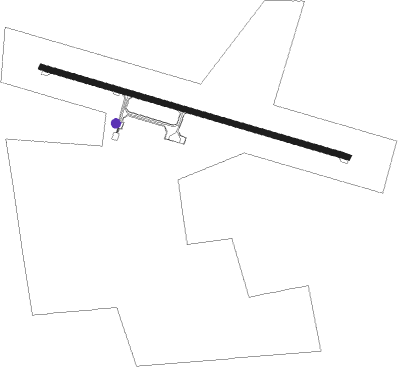
Lavan Island
Airport details
| Country | Iran |
| State | Hormozgan Province |
| Region | OI |
| Airspace | Tehran Ctr |
| Municipality | دهستان لاوان |
| Elevation | 76ft (23m) |
| Timezone | GMT +3.5 |
| Coordinates | 26.81028, 53.35611 |
| Magnetic var | |
| Type | land |
| Available since | X-Plane v10.40 |
| ICAO code | OIBV |
| IATA code | LVP |
| FAA code | n/a |
Communication
| Lavan Island INFO | 128.550 |
| Lavan Island INFO | 129.000 |
Nearby beacons
| code | identifier | dist | bearing | frequency |
|---|---|---|---|---|
| LVA | LAVAN ISLAND VOR/DME | 0.1 | 352° | 116.85 |
| LVA | LAVAN ISLAND NDB | 1.7 | 109° | 310 |
| LAM | LAMERD NDB | 34.5 | 344° | 346 |
| LAM | LAMERD VOR/DME | 35 | 343° | 117 |
| KIH | KISH ISLAND NDB | 36.2 | 115° | 201 |
| KIS | KISH ISLAND VOR/DME | 36.7 | 115° | 117.40 |
| KIH | KISH ISLAND TACAN | 39 | 114° | 116.50 |
| PRG | PERSIAN GULF VOR/DME | 45.7 | 313° | 112.10 |
| PRG | PERSIAN GULF NDB | 48.5 | 313° | 457 |
Departure and arrival routes
| Transition altitude | 6000ft |
| Transition level | 8000ft |
| SID end points | distance | outbound heading | |
|---|---|---|---|
| RW11 | |||
| KIS1H | 37mi | 115° | |
| LAM2B | 35mi | 344° | |
| RW29 | |||
| KIS1G | 37mi | 115° | |
| LAM2A | 35mi | 344° | |
| STAR starting points | distance | inbound heading | |
|---|---|---|---|
| RW29 | |||
| LAM1P | 34.5 | 164° | |
| KIS1V | 36.7 | 295° | |
Holding patterns
| STAR name | hold at | type | turn | heading* | altitude | leg | speed limit |
|---|---|---|---|---|---|---|---|
| KIS1V | D063O | VHF | right | 63 (243)° | > 6000ft | 1.0min timed | 220 |
| LAM1P | D063O | VHF | right | 63 (243)° | > 6000ft | 1.0min timed | 220 |
| *) magnetic outbound (inbound) holding course | |||||||
Disclaimer
The information on this website is not for real aviation. Use this data with the X-Plane flight simulator only! Data taken with kind consent from X-Plane 12 source code and data files. Content is subject to change without notice.