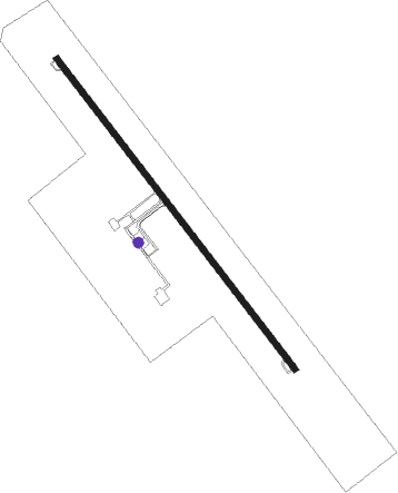
Shahrekord - Shahre Kord
Airport details
| Country | Iran |
| State | Chaharmahal and Bakhtiyari Province |
| Region | OI |
| Airspace | Tehran Ctr |
| Municipality | دهستان حومه شهرکرد |
| Elevation | 6723ft (2049m) |
| Timezone | GMT +3.5 |
| Coordinates | 32.29722, 50.84222 |
| Magnetic var | |
| Type | land |
| Available since | X-Plane v10.40 |
| ICAO code | OIFS |
| IATA code | CQD |
| FAA code | n/a |
Communication
| Shahre Kord INFO | 118.500 |
Nearby Points of Interest:
Bozlar Cemetery
-Khalaja Mosque of Hafshejan
-Eskandari Hill
-Zamanian Oil Mill
-Ershad Mosque
-Okhovat Hammam
-Safa Dovecote Towers
Nearby beacons
| code | identifier | dist | bearing | frequency |
|---|---|---|---|---|
| SKD | SHAHRE KORD NDB | 0.5 | 336° | 376 |
| SKD | SHAHRE KORD VOR/DME | 1.2 | 144° | 117.30 |
| ESH | SHAHID VATAN POUR (ESFAHAN) NDB | 46 | 72° | 413 |
| HSA | HESA (ESFAHAN) NDB | 52.6 | 48° | 230 |
| IFN | ESFAHAN TACAN | 56.5 | 65° | 117.10 |
| ISN | ESFAHAN VOR/DME | 56.7 | 65° | 113.20 |
Departure and arrival routes
| Transition altitude | 13000ft |
| Transition level | 14000ft |
| SID end points | distance | outbound heading | |
|---|---|---|---|
| RW14 | |||
| ISN1C, ISN1A | 57mi | 65° | |
| LOXA1C, LOXA1A | 56mi | 122° | |
| IMKE1C, IMKE1A | 72mi | 246° | |
| BOMI1G, BOMI1E | 42mi | 346° | |
| RW32 | |||
| ISN1D, ISN1B | 57mi | 65° | |
| LOXA1B, LOXA1D | 56mi | 122° | |
| IMKE1D, IMKE1B | 72mi | 246° | |
| BOMI1H, BOMI1F | 42mi | 346° | |
| STAR starting points | distance | inbound heading | |
|---|---|---|---|
| RW14 | |||
| IMKE1N, IMKE1P | 71.5 | 66° | |
| BOMI1N, BOMI1P | 42.1 | 166° | |
| PEKA2P, PEKA2N | 71.8 | 189° | |
| ISN1N, ISN1P, ISN1Q | 56.7 | 245° | |
| LOXA1P, LOXA1N | 55.9 | 302° | |
Holding patterns
| STAR name | hold at | type | turn | heading* | altitude | leg | speed limit |
|---|---|---|---|---|---|---|---|
| BOMI1N | D324Q | VHF | left | 324 (144)° | > 12300ft | 1.0min timed | 210 |
| IMKE1N | D324Q | VHF | left | 324 (144)° | > 12300ft | 1.0min timed | 210 |
| ISN1N | D324Q | VHF | left | 324 (144)° | > 12300ft | 1.0min timed | 210 |
| LOXA1N | D324Q | VHF | left | 324 (144)° | > 12300ft | 1.0min timed | 210 |
| PEKA2N | D324Q | VHF | left | 324 (144)° | > 12300ft | 1.0min timed | 210 |
| *) magnetic outbound (inbound) holding course | |||||||
Disclaimer
The information on this website is not for real aviation. Use this data with the X-Plane flight simulator only! Data taken with kind consent from X-Plane 12 source code and data files. Content is subject to change without notice.