Rayak
Airport details
| Country | Lebanon |
| State | Beqaa Governorate |
| Region | OL |
| Airspace | Beirut Ctr |
| Municipality | Zahle |
| Elevation | 2953ft (900m) |
| Timezone | GMT +2 |
| Coordinates | 33.85089, 35.98704 |
| Magnetic var | |
| Type | land |
| Available since | X-Plane v10.40 |
| ICAO code | OLRA |
| IATA code | n/a |
| FAA code | n/a |
Communication
| Rayak Tower | 124.400 |
Nearby Points of Interest:
Aammiq Wetland
-Commemorative stelae of Nahr el-Kalb
-Chouf District
-Cedars of God
-hôpital Saint-Michel d'Amchit
-Ouadi Qadisha (the Holy Valley) and the Forest of the Cedars of God (Horsh Arz el-Rab)
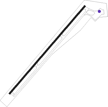
Runway info
| Runway 04 / 22 | ||
| length | 2943m (9656ft) | |
| bearing | 51° / 231° | |
| width | 45m (148ft) | |
| surface | concrete | |
| blast zone | 0m (0ft) / 76m (249ft) | |
Nearby beacons
| code | identifier | dist | bearing | frequency |
|---|---|---|---|---|
| BAR | BAYSUR VOR | 22 | 259° | 113.90 |
| MEZ | MEZZEH (DAMASCUS) NDB | 24.9 | 147° | 358 |
| KAD | KALDE VOR/DME | 25.1 | 265° | 112.60 |
| BOD | BOD NDB | 25.3 | 276° | 351 |
| CAK | CHEKA VOR/DME | 30.5 | 327° | 116.20 |
| DAL | DAMASCUS NDB | 37.6 | 121° | 342 |
| DAM | DAMASCUS VOR/DME | 37.8 | 135° | 116 |
| ABD | ABYAD (DAMASCUS) NDB | 38 | 139° | 264 |
| RA | KLEYATE NDB | 44.1 | 1° | 450 |
| ROP | ROSH-PINA VOR/DME | 56.1 | 206° | 115.30 |
Disclaimer
The information on this website is not for real aviation. Use this data with the X-Plane flight simulator only! Data taken with kind consent from X-Plane 12 source code and data files. Content is subject to change without notice.