Al Dhafra
Airport details
| Country | United Arab Emirates |
| State | Abu Dhabi Emirate |
| Region | OM |
| Airspace | Emirates Ctr |
| Municipality | Al Bihouth |
| Elevation | 77ft (23m) |
| Timezone | GMT +4 |
| Coordinates | 24.23962, 54.54940 |
| Magnetic var | |
| Type | land |
| Available since | X-Plane v10.30 |
| ICAO code | OMAM |
| IATA code | DHF |
| FAA code | n/a |
Communication
| Al Dhafra Tower | 118.300 |
| Al Dhafra ABU DHABI Approach | 124.400 |
| Al Dhafra AL DHAFRA ARR/Departure | 124.500 |
Runway info
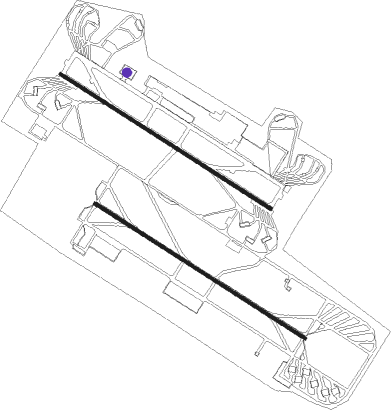
Runway 13L / 31R  | ||
| length | 3660m (12008ft) | |
| bearing | 125° / 305° | |
| width | 46m (150ft) | |
| surface | asphalt | |
| blast zone | 255m (837ft) / 255m (837ft) | |
| Runway 13R / 31L | ||
| length | 3663m (12018ft) | |
| bearing | 125° / 305° | |
| width | 46m (150ft) | |
| surface | asphalt | |
| blast zone | 255m (837ft) / 255m (837ft) | |
Nearby beacons
| code | identifier | dist | bearing | frequency |
|---|---|---|---|---|
| ADV | ABU DHABI VOR/DME | 12.7 | 35° | 114.25 |
| ALB | AL BATEEN (ABU DHABI) VOR/DME | 13.2 | 333° | 114 |
| MIN | MINHAD VOR/DME | 66 | 47° | 115.20 |
Disclaimer
The information on this website is not for real aviation. Use this data with the X-Plane flight simulator only! Data taken with kind consent from X-Plane 12 source code and data files. Content is subject to change without notice.