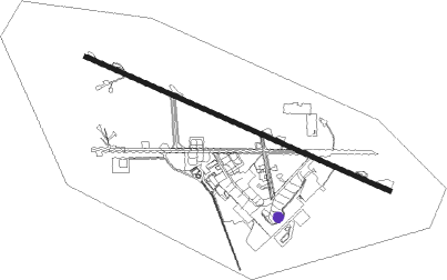
Islamabad - Benazir Bhutto Intl
Airport details
| Country | Pakistan |
| State | Punjab |
| Region | OP |
| Airspace | Lahore Ctr |
| Municipality | Rawalpindi |
| Elevation | 1667ft (508m) |
| Timezone | GMT +5 |
| Coordinates | 33.61206, 73.10638 |
| Magnetic var | |
| Type | land |
| Available since | X-Plane v10.40 |
| ICAO code | OPRN |
| IATA code | ISB |
| FAA code | n/a |
Communication
| Benazir Bhutto Intl ATIS | 129.600 |
| Benazir Bhutto Intl Tower | 123.700 |
| Benazir Bhutto Intl Tower | 119.700 |
Approach frequencies
| ILS-cat-I | RW30 | 110.3 | 18.00mi |
| 3° GS | RW30 | 110.3 | 18.00mi |
Nearby Points of Interest:
Mohra Muradu
-Taxila
Nearby beacons
| code | identifier | dist | bearing | frequency |
|---|---|---|---|---|
| RN | ISLAMABAD VOR/DME | 1 | 107° | 112.10 |
| BTR | ISLAMABAD VOR/DME | 13.1 | 255° | 114.60 |
| RT | RAWALAKOT NDB | 37.3 | 71° | 295 |
| MF | MUZAFFARABAD NDB | 48.1 | 29° | 207 |
Disclaimer
The information on this website is not for real aviation. Use this data with the X-Plane flight simulator only! Data taken with kind consent from X-Plane 12 source code and data files. Content is subject to change without notice.