Holbrook Muni
Airport details
| Country | United States of America |
| State | Arizona |
| Region | K2 |
| Airspace | Albuquerque Ctr |
| Municipality | Holbrook |
| Elevation | 5262ft (1604m) |
| Timezone | GMT -7 |
| Coordinates | 34.94072, -110.13850 |
| Magnetic var | |
| Type | land |
| Available since | X-Plane v10.40 |
| ICAO code | P14 |
| IATA code | n/a |
| FAA code | n/a |
Communication
| Holbrook Muni AWOS 3 | 118.675 |
| Holbrook Muni CTAF/UNICOM | 122.800 |
Nearby Points of Interest:
Homolovi State Park
-La Posada Historic District
-Lorenzo Hubbell Trading Post and Warehouse
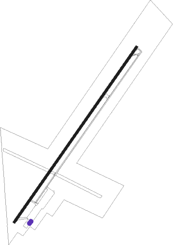
Runway info
| Runway 3 / 21 | ||
| length | 2044m (6706ft) | |
| bearing | 45° / 225° | |
| width | 23m (75ft) | |
| surface | asphalt | |
| displ threshold | 243m (797ft) / 0m (0ft) | |
Nearby beacons
| code | identifier | dist | bearing | frequency |
|---|---|---|---|---|
| INW | WINSLOW VORTAC | 33.1 | 280° | 112.60 |
| ZUN | ZUNI VORTAC | 48.4 | 89° | 113.40 |
| SJN | ST JOHNS VORTAC | 58.1 | 117° | 112.30 |
Disclaimer
The information on this website is not for real aviation. Use this data with the X-Plane flight simulator only! Data taken with kind consent from X-Plane 12 source code and data files. Content is subject to change without notice.