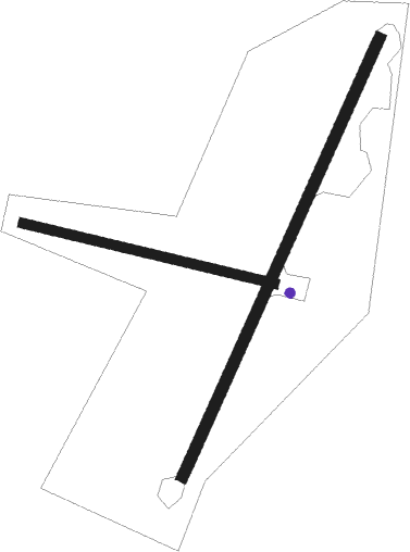
Airports for X-Plane offers a convenient way to explore airports and their related communication information for the X-Plane flight simulator. It only uses data from the X-Plane flight simulator itself, and is therefore more reliable than the data that comes from real aviation websites. You can search for airports by using the ICAO code, or browse for airports per country and state. The information displayed is categorized by airport details, runway information, airport communication, approach frequencies (ILS and Glidepath details), details of nearby beacons, SIDs, STARs and approach procedures.

airfield traffic pattern train station aerodrome international airport transit newark helicopters near airplane public transport customs airport terminal traffic automated airport weather station nation nearby arrival asphalt airline airborne

Beluga

Airport details

CountryUnited States of America
StateAlaska
RegionPA
MunicipalityKenai Peninsula
Elevation127ft (39m)
TimezoneGMT -9
Coordinates61.17296, -151.04541
Magnetic var
Typeland
Available sinceX-Plane v10.40
ICAO codePABG
IATA codeBVU
FAA codeBLG

Communication

No airport communication available for PABG

Runway info

Runway 18 / 36  
 length1467m (4813ft)
 bearing229° / 49°
 width35m (115ft)
 surfacegravel
Runway 09 / 27  
 length787m (2582ft)
 bearing99° / 279°
 width30m (98ft)
 surfacegravel

Airport layout - parking location GA1


Parking locations

Nearby beacons

codeidentifierdistbearingfrequency
ENAKENAI VOR/DME33.8195°117.60
OLTDME42.1167°115.90
OLTSOLDOTNA NDB42.2167°346

Disclaimer

The information on this website is not for real aviation. Use this data with the X-Plane flight simulator only! Data taken with kind consent from X-Plane 12 source code and data files. Content is subject to change without notice.