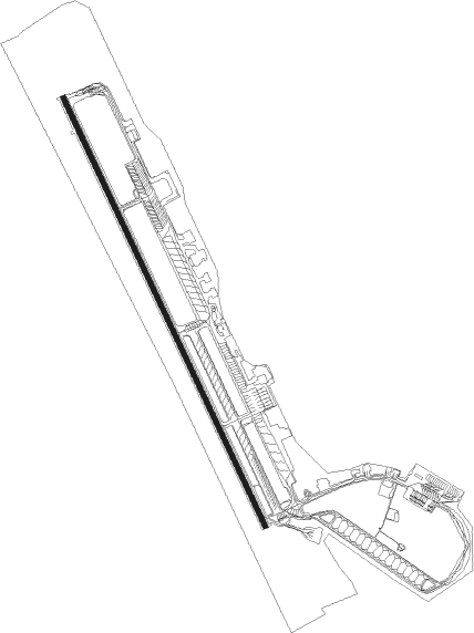
Fairbanks - Eielson Afb
Airport details
| Country | United States of America |
| State | Alaska |
| Region | PA |
| Municipality | Fairbanks North Star |
| Elevation | 545ft (166m) |
| Timezone | GMT -9 |
| Coordinates | 64.68151, -147.10536 |
| Magnetic var | |
| Type | land |
| Available since | X-Plane v10.40 |
| ICAO code | PAEI |
| IATA code | EIL |
| FAA code | EIL |
Communication
| Eielson AFB ASOS | 118.525 |
| Eielson AFB ASOS | 119.275 |
| Eielson AFB Ground Control | 121.800 |
| Eielson AFB RANGE CON | 125.300 |
| Eielson AFB Tower | 127.200 |
| Eielson AFB FAIRBANKS Approach | 125.350 |
| Eielson AFB FAIRBANKS Approach | 126.500 |
| Eielson AFB FAIRBANKS Departure | 126.500 |
Approach frequencies
| ILS-cat-I | RW32 | 109.9 | 18.00mi |
| ILS-cat-I | RW14 | 110.5 | 18.00mi |
| 2.7° GS | RW32 | 109.9 | 18.00mi |
| 2.7° GS | RW14 | 110.5 | 18.00mi |
Nearby Points of Interest:
Ladd Army Airfield
Nearby beacons
| code | identifier | dist | bearing | frequency |
|---|---|---|---|---|
| EIL | EIELSON (FAIRBANKS) TACAN | 1.6 | 158° | 115.10 |
| CUN | CHENA (FAIRBANKS) NDB | 13.7 | 292° | 257 |
| FAI | FAIRBANKS VORTAC | 24.3 | 277° | 108.60 |
Departure and arrival routes
| Transition altitude | 18000ft |
| Transition level | 18000ft |
| SID end points | distance | outbound heading | |
|---|---|---|---|
| RW14 | |||
| WAPAX3 | 78mi | 55° | |
| DELTA6 | 26mi | 100° | |
| ARUNY3 | 23mi | 185° | |
| HAWGG7 | 202mi | 221° | |
| BOJAA2 | 19mi | 250° | |
| HAPLO3, NENNA5 | 51mi | 267° | |
| RW32 | |||
| WAPAX3 | 78mi | 55° | |
| DELTA6 | 26mi | 100° | |
| ARUNY3 | 23mi | 185° | |
| HAWGG7 | 202mi | 221° | |
| BOJAA2 | 19mi | 250° | |
| JEWLL2, NENNA5 | 51mi | 267° | |
| STAR starting points | distance | inbound heading | |
|---|---|---|---|
| RW14 | |||
| FALCO5 | 26.7 | 163° | |
| RW32 | |||
| FALCO5 | 26.7 | 163° | |
Instrument approach procedures
| runway | airway (heading) | route (dist, bearing) |
|---|---|---|
| RW14 | FALCO (140°) | FALCO 5000ft JAMMM (8mi, 145°) 4000ft |
| RNAV | JAMMM 4000ft BRBAK (6mi, 138°) 2100ft PAEI (5mi, 135°) 588ft (6669mi, 114°) 1100ft WAKOV (6679mi, 294°) 4000ft WAKOV (turn) 6000ft | |
| RW32 | CIGVU (320°) | CIGVU 4500ft |
| RW32 | ZANLO (35°) | ZANLO 4500ft CIGVU (12mi, 81°) 4500ft |
| RNAV | CIGVU 4500ft JONSY (8mi, 319°) 2400ft CEVDO (2mi, 319°) 1400ft PAEI (6mi, 322°) 597ft (6669mi, 114°) 1100ft FALCO (6658mi, 294°) 6000ft FALCO (turn) 8000ft |
Holding patterns
| STAR name | hold at | type | turn | heading* | altitude | leg | speed limit |
|---|---|---|---|---|---|---|---|
| FALCO5 | FALCO | VHF | right | 322 (142)° | DME 9.0mi | ICAO rules | |
| *) magnetic outbound (inbound) holding course | |||||||
Disclaimer
The information on this website is not for real aviation. Use this data with the X-Plane flight simulator only! Data taken with kind consent from X-Plane 12 source code and data files. Content is subject to change without notice.