Healy - Healy River
Airport details
| Country | United States of America |
| State | Alaska |
| Region | PA |
| Municipality | Healy |
| Elevation | 1274ft (388m) |
| Timezone | GMT -9 |
| Coordinates | 63.86758, -148.96883 |
| Magnetic var | |
| Type | land |
| Available since | X-Plane v10.40 |
| ICAO code | PAHV |
| IATA code | HKB |
| FAA code | HRR |
Communication
| Healy River CTAF | 122.900 |
Nearby Points of Interest:
Mount McKinley National Park Headquarters District
-Ewe Creek Ranger Cabin No. 8
-Riley Creek Ranger Cabin No. 20
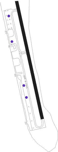
Runway info
| Runway 15 / 33 | ||
| length | 886m (2907ft) | |
| bearing | 163° / 343° | |
| width | 18m (60ft) | |
| surface | asphalt | |
Nearby beacons
| code | identifier | dist | bearing | frequency |
|---|---|---|---|---|
| ICW | ICE POOL (NENANA) NDB | 40.8 | 351° | 525 |
| ENN | NENANA VORTAC | 43.4 | 352° | 115.80 |
| FAI | FAIRBANKS VORTAC | 61.2 | 46° | 108.60 |
Departure and arrival routes
| Transition altitude | 18000ft |
| Transition level | 18000ft |
| SID end points | distance | outbound heading | |
|---|---|---|---|
| RW33 | |||
| HEALY1 | 15mi | 298° | |
Instrument approach procedures
| runway | airway (heading) | route (dist, bearing) |
|---|---|---|
| RW15 | FIGRO (105°) | FIGRO TOTLE (8mi, 77°) 5700ft |
| RW15 | TOTLE (131°) | TOTLE 5700ft |
| RW15 | YURUL (190°) | YURUL TOTLE (8mi, 257°) 5700ft |
| RNAV | TOTLE 5700ft ICALE (5mi, 130°) 4000ft CWILL (3mi, 130°) 3200ft EMIDE (1mi, 130°) 2640ft CRONY (3mi, 130°) 1476ft (6736mi, 113°) 1675ft TOTLE (6730mi, 293°) 5700ft TOTLE (turn) | |
| RWNVA | CAWIN (2°) | CAWIN RIFFS (16mi, 11°) 8900ft LOUMA (6mi, 11°) 7900ft |
| RNAV | LOUMA 7900ft FURZY (8mi, 13°) 5700ft STALE (2mi, 320°) 5020ft WATOP (4mi, 320°) 3700ft (6737mi, 113°) 3700ft TOTLE (6730mi, 293°) 5700ft TOTLE (turn) |
Disclaimer
The information on this website is not for real aviation. Use this data with the X-Plane flight simulator only! Data taken with kind consent from X-Plane 12 source code and data files. Content is subject to change without notice.