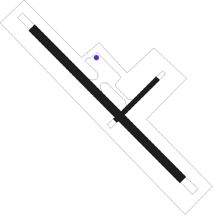
Egegik
Airport details
| Country | United States of America |
| State | Alaska |
| Region | PA |
| Municipality | Egegik |
| Elevation | 90ft (27m) |
| Timezone | GMT -9 |
| Coordinates | 58.18549, -157.37543 |
| Magnetic var | |
| Type | land |
| Available since | X-Plane v10.40 |
| ICAO code | PAII |
| IATA code | EGX |
| FAA code | EII |
Communication
| Egegik AWOS 3 | 135.650 |
| Egegik CTAF | 122.800 |
| Egegik ANCHORAGE CNTR | 124.800 |
Nearby beacons
| code | identifier | dist | bearing | frequency |
|---|---|---|---|---|
| AKN | KING SALMON VORTAC | 37.8 | 49° | 112.80 |
| AUB | CHINOOK (KING SALMON) NDB | 38 | 47° | 355 |
Instrument approach procedures
| runway | airway (heading) | route (dist, bearing) |
|---|---|---|
| RW12 | CAMUL (103°) | CAMUL JIYOU (5mi, 63°) 2500ft |
| RW12 | EDGUC (151°) | EDGUC JIYOU (5mi, 243°) 2500ft |
| RW12 | JIYOU (122°) | JIYOU 2500ft |
| RNAV | JIYOU 2500ft IANNN (6mi, 122°) 1600ft PAII (5mi, 122°) 116ft (7154mi, 110°) 492ft EDGUC (7145mi, 290°) 2500ft EDGUC (turn) | |
| RW30 | AWXAV (285°) | AWXAV OVKUY (5mi, 246°) 2500ft |
| RW30 | OVKUY (302°) | OVKUY 2500ft |
| RW30 | SELBE (331°) | SELBE OVKUY (5mi, 66°) 2500ft |
| RNAV | OVKUY 2500ft LICUG (6mi, 302°) 1800ft PAII (5mi, 302°) 137ft (7154mi, 110°) 492ft JIYOU (7150mi, 290°) 2500ft JIYOU (turn) |
Disclaimer
The information on this website is not for real aviation. Use this data with the X-Plane flight simulator only! Data taken with kind consent from X-Plane 12 source code and data files. Content is subject to change without notice.

