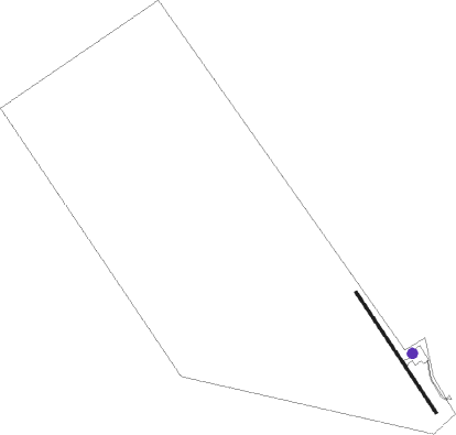
Tatitlek
Airport details
| Country | United States of America |
| State | Alaska |
| Region | PA |
| Municipality | Chugach |
| Elevation | 23ft (7m) |
| Timezone | GMT -9 |
| Coordinates | 60.87239, -146.69116 |
| Magnetic var | |
| Type | land |
| Available since | X-Plane v10.40 |
| ICAO code | PAKA |
| IATA code | n/a |
| FAA code | n/a |
Communication
| Tatitlek AWOS 118.80 | 118.800 |
| Tatitlek CTAF 122.70 | 122.700 |
Nearby beacons
| code | identifier | dist | bearing | frequency |
|---|---|---|---|---|
| MNL | MINERAL CREEK (VALDEZ) NDB | 18 | 53° | 524 |
| JOH | JOHNSTONE POINT VOR/DME | 23.6 | 167° | 116.70 |
| ALJ | ORCA BAY (HINCHINBROOK) NDB | 23.7 | 165° | 233 |
Instrument approach procedures
| runway | airway (heading) | route (dist, bearing) |
|---|---|---|
| RW31 | JOH (347°) | JOH ZUDBO (14mi, 24°) 3600ft |
| RNAV | ZUDBO 3600ft NECYI (4mi, 336°) 3000ft CURUV (7mi, 299°) 273ft (6847mi, 113°) 462ft VALUC (6849mi, 293°) BLIGH (5mi, 244°) JOH (25mi, 132°) 4400ft JOH (turn) |
Disclaimer
The information on this website is not for real aviation. Use this data with the X-Plane flight simulator only! Data taken with kind consent from X-Plane 12 source code and data files. Content is subject to change without notice.

